Warm air still lingers over the Midwest as the temperature gauge begins to fall—fast. Forecast models show highs collapsing more than 30 degrees in a single day, with Arctic air spilling south behind a powerful cold front.
Winds strengthen, snow bands organize near the Great Lakes, and RealFeel readings drop sharply as the front advances hour by hour. What looks like a routine cooldown is unfolding into something far more abrupt—and this is only the first wave.
Freezing Flip

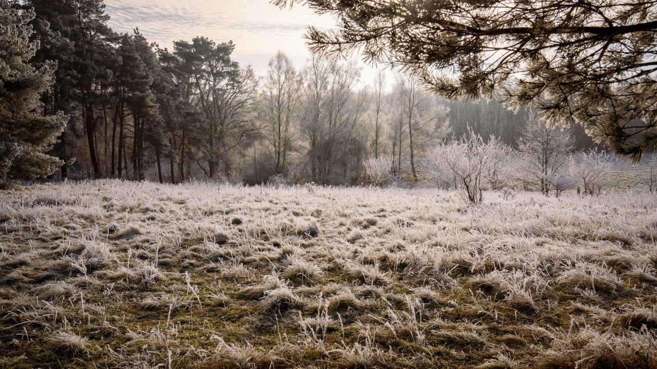
A powerful cold front barrels through late Sunday into Monday, flipping mild air to subfreezing conditions in less than a day. Highs tumble rapidly as flurries and snow squalls ignite across the Great Lakes and Ohio Valley.
Visibility drops, roads turn slick, and the first Arctic surge establishes a colder baseline. Forecasters say this is only the opening wave, setting the stage for a more sustained temperature collapse.
Polar Patterns

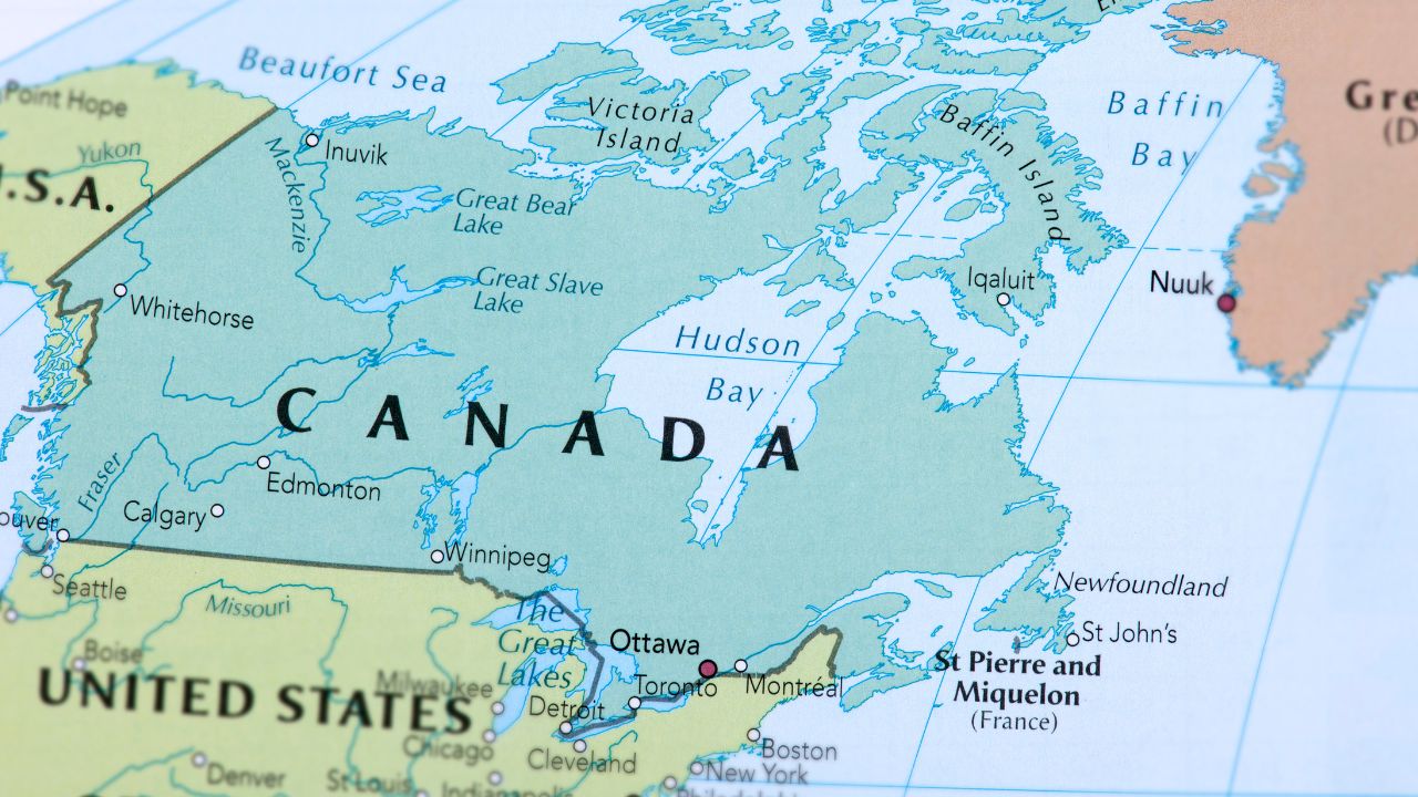
The cold originates far north, where Arctic air masses periodically break loose and plunge south. This pattern emerges when atmospheric ridges collapse and Rossby waves allow frigid Canadian air to spill into the U.S.
Meteorologists note this late-December volatility has become more pronounced, especially around the holidays. The atmosphere is primed for repeated intrusions, raising concern that the cold may not be brief or isolated.
Holiday Hazard
Despite lingering warmth ahead of the front, pressure is building rapidly. Multiple Arctic waves line up behind the initial surge, reinforcing cold air across the Midwest and Northeast.
Another push is expected near New Year’s, limiting any meaningful warm-up. Snow squalls, gusty winds, and plunging temperatures converge at the worst possible time—when millions are traveling and infrastructure is stretched thin.
30 Degree Plunge

The most dramatic drop unfolds over the Ohio Valley. Forecasts show highs plunging more than 30 degrees in just 24 hours, qualifying as a true temperature freefall.
Indianapolis captures the swing clearly: low 60s on Sunday, mid-20s by Monday. AccuWeather experts emphasize that cold air trailing the front arrives with wind and snow, intensifying the shock well beyond the numbers alone.
Midwest Slammed

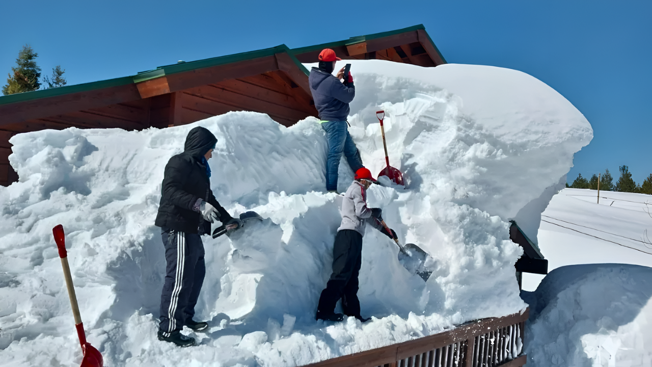
The Midwest absorbs the brunt of the first wave. Temperatures slide into the teens and single digits across the Upper Midwest, while subfreezing conditions lock in farther south.
Snow-covered roads and reduced visibility complicate daily life from the Great Lakes to the Ohio Valley. With multiple waves expected, communities face prolonged disruption rather than a quick cold snap.
Traveler Nightmares

Holiday travel turns hazardous as wind chills plunge and snow squalls slash visibility. RealFeel temperatures dropping 20 degrees below actual readings increase frostbite risk for stranded motorists. Interstate closures, delayed flights, and stalled traffic ripple across the region.
For many families, reunions are postponed as safety concerns override schedules, underscoring how quickly weather can derail peak travel windows.
Northeast Chill
Cold air surges eastward, pushing Northeast daytime highs into the 20s and 30s by Tuesday. Interior areas deal with flurries, while coastal regions face icy conditions.
Urban commutes slow, and rural power infrastructure strains under persistent cold and wind. The chill spreads well beyond the Midwest, confirming this outbreak is regional rather than localized.
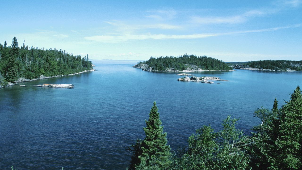
Lake-Effect Legacy
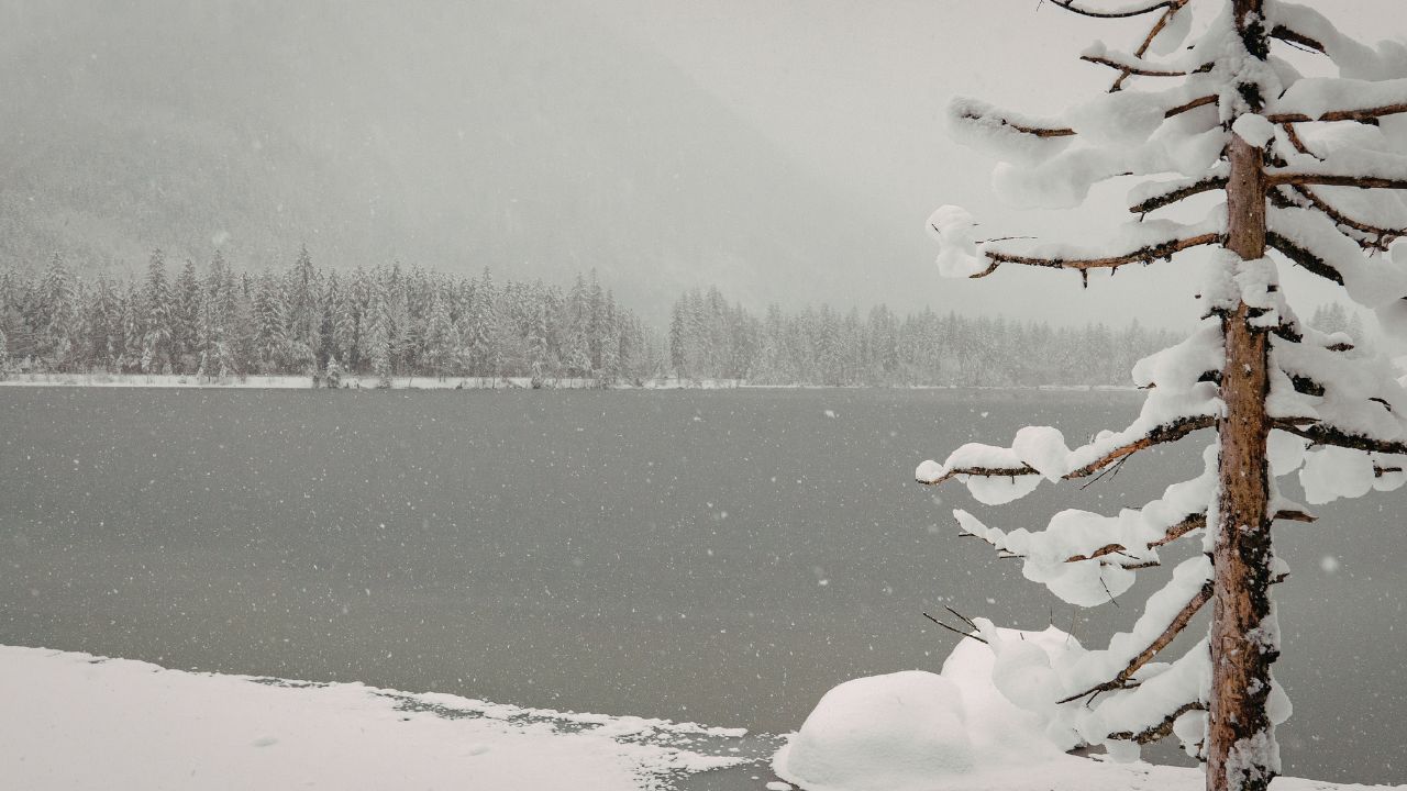
As Arctic air sweeps over comparatively warm lake waters, lake-effect snow bands intensify. Gusty winds turn the Great Lakes into snow factories, producing whiteouts in narrow corridors.
Snow showers also reach the central Appalachians and parts of Pennsylvania on Sunday. These familiar but dangerous setups strain emergency services, especially when waves arrive back-to-back.
Vortex Volatility
Behind the scenes, the polar vortex plays a key role. A weakening and distorted vortex allows repeated Arctic blasts to spill south.
Rossby waves clip its edges, strengthening northerly jet streams that funnel cold air into the eastern U.S. Forecasts for January favor snow over rain in many areas, reinforcing winter conditions rather than easing them.
New Year’s Deep Freeze
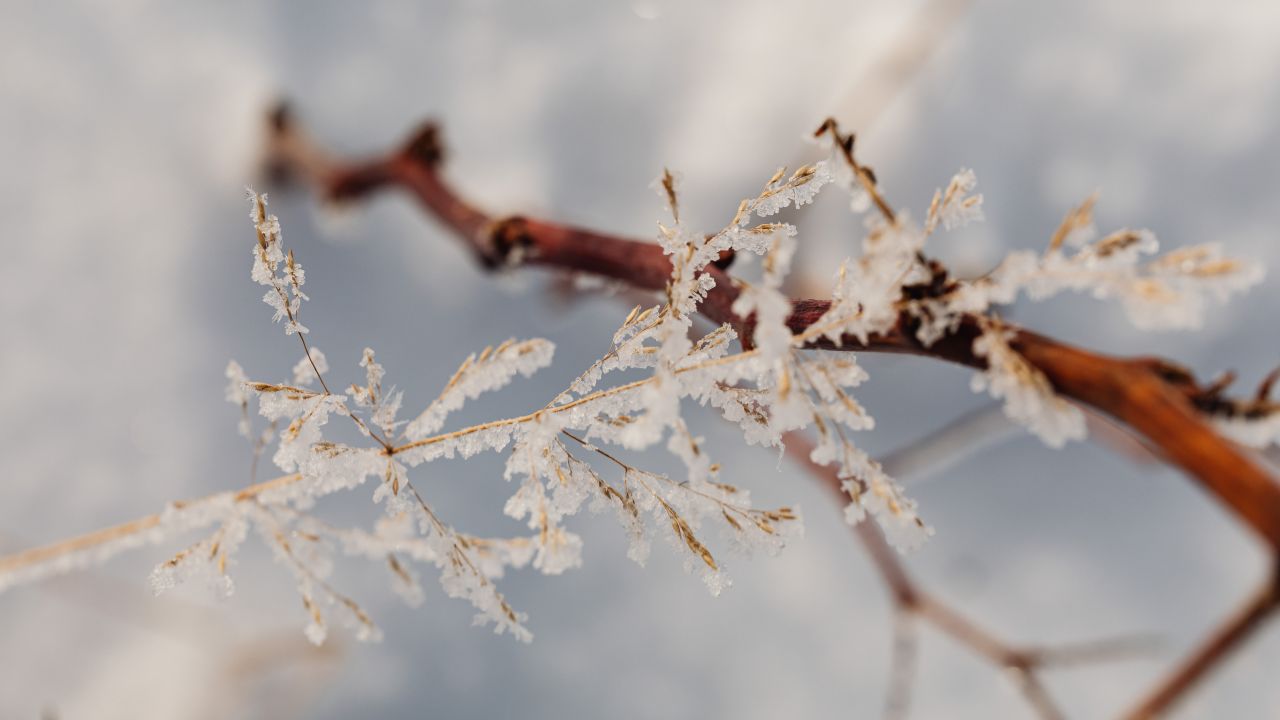
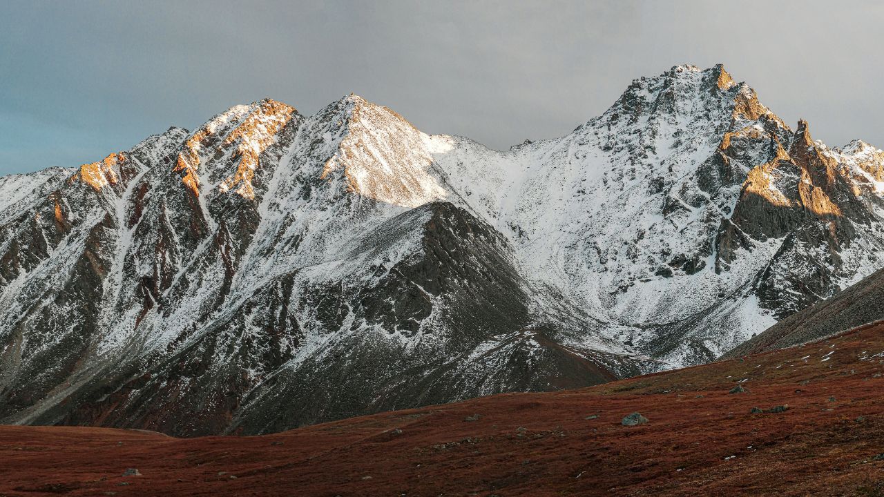
The calendar flip offers no relief. A reinforcing Arctic burst around New Year’s Day locks in dangerous cold through early January.
Highs struggle to escape the teens in the Upper Midwest, while wind chills dip below zero. Even parts of the Southeast flirt with freezing, extending the holiday hazard window well beyond the initial plunge.
Regional Frustrations

Residents across the Ohio Valley express frustration with rapid swings that upend plans and strain resources. Indianapolis prepares for another abrupt crash after near-record warmth, while Great Lakes communities brace for repeated snow.
The whiplash from warmth to freeze fuels skepticism and anxiety, as people question how long stability will remain elusive.
Expert Strategies
AccuWeather Lead Long-Range Expert Paul Pastelok urges preparation ahead of the front. He warns that cold air will follow quickly, accompanied by gusty winds and lake-effect snow across the Great Lakes, Ohio Valley, and interior Northeast.
Utilities reinforce grids, transportation agencies pre-treat roads, and officials expand alerts as the pattern intensifies.
Recovery Efforts

State and local agencies activate winter response plans, deploying plows, opening warming centers, and adjusting travel advisories.
Forecast guidance suggests gradual moderation after New Year’s, but overlapping Arctic waves complicate recovery timelines. Each surge tests response capacity, forcing officials to adapt in real time as conditions evolve hour by hour.
2026 Horizon
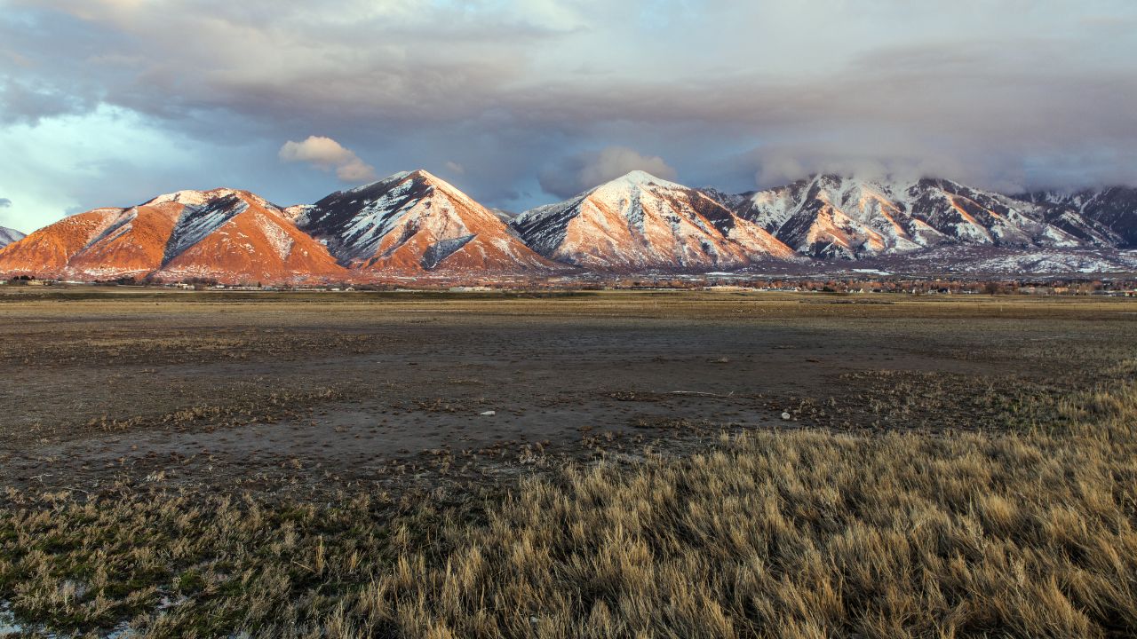
As 2026 begins under Arctic pressure, uncertainty dominates the outlook. Some models hint at eventual moderation, but most favor prolonged cold east of the Rockies.
Millions remain exposed to dangerous conditions, monitoring forecasts closely as winter tightens its grip. Whether this barrage resets seasonal norms—or finally loosens—remains the unanswered question.
Sources:
“Arctic blast to bring multiple waves of dangerous cold to the Midwest and Northeast.” AccuWeather, 25 Dec 2025.
“Chill out: Arctic blast on the way for the new year.” USA Today, 26 Dec 2025.
“Latest forecasts show a surprising Cold return over the U.S. and Canada.” Severe Weather Europe, 23 Dec 2025.
“Strong system Sunday with record high potential, much colder by Monday.” WISH-TV, 26 Dec 2025.