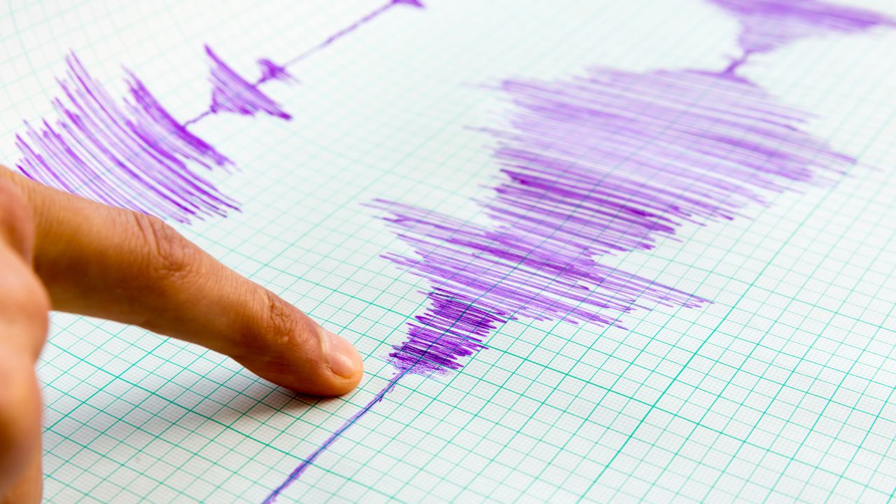
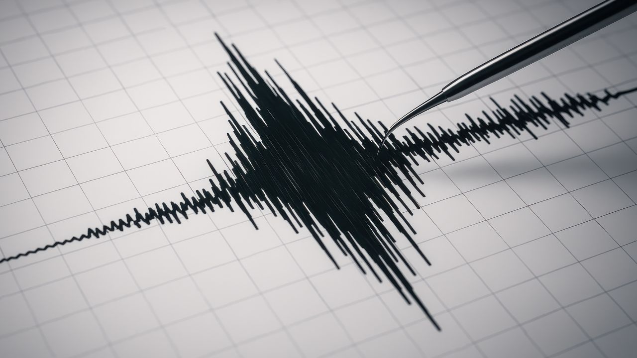
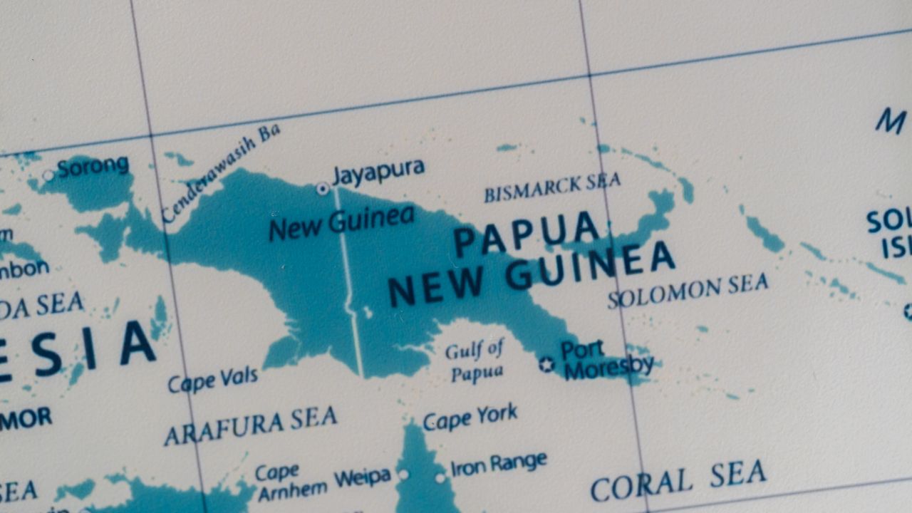
The shaking began deep beneath Papua New Guinea’s highlands, a sudden rolling motion that rippled across mountains and valleys late on December 22. Seismometers recorded a magnitude 6.5 earthquake, its rupture originating 68 miles underground, northeast of Goroka.
Vibrations spread outward through Eastern Highlands Province, reaching neighboring areas as people paused, waited, and checked their surroundings. The quake was powerful—but its depth changed everything. What scientists saw next explains why the impact stopped short of disaster.
Rising Tremors Across the Pacific
December 2025 has capped a year of elevated seismic activity around the Pacific Rim. From powerful megathrust earthquakes near Kamchatka to repeated magnitude-6-plus shocks across Asia and Oceania, the Ring of Fire has remained unusually active.
The Papua New Guinea quake fits into this broader pattern, occurring as scientists continue tracking stress redistribution across major plate boundaries. While each quake is distinct, the cumulative signal has kept seismologists on heightened watch.
Life on the Ring of Fire
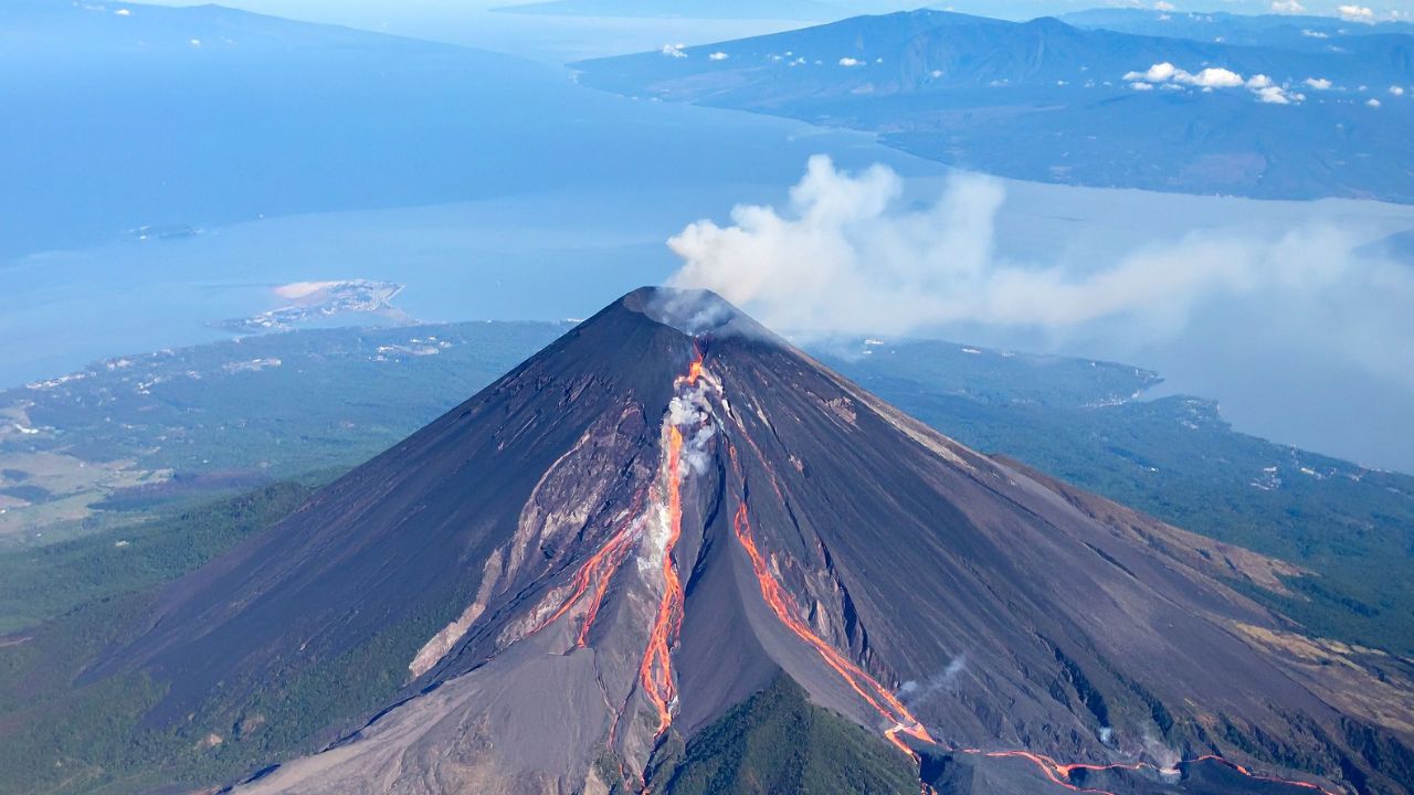
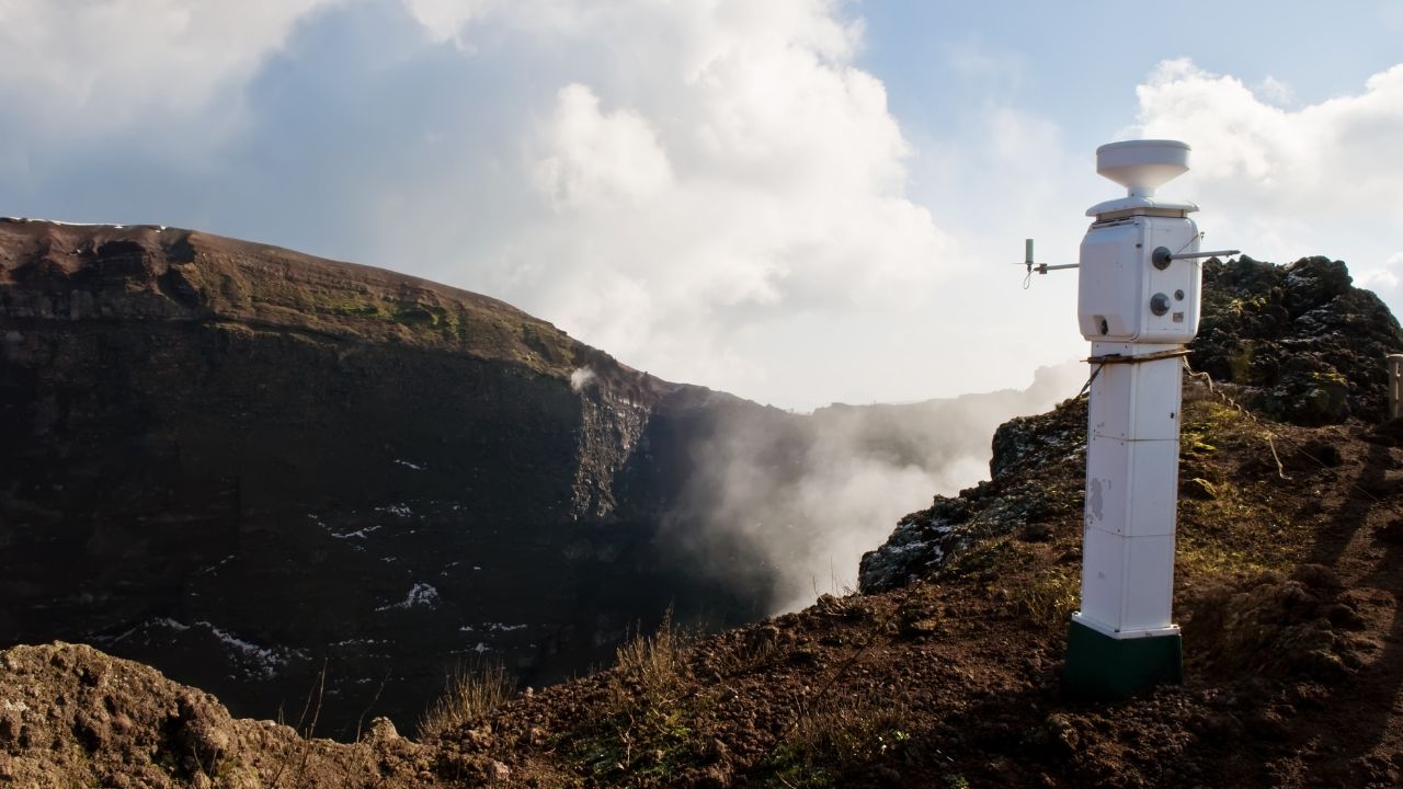
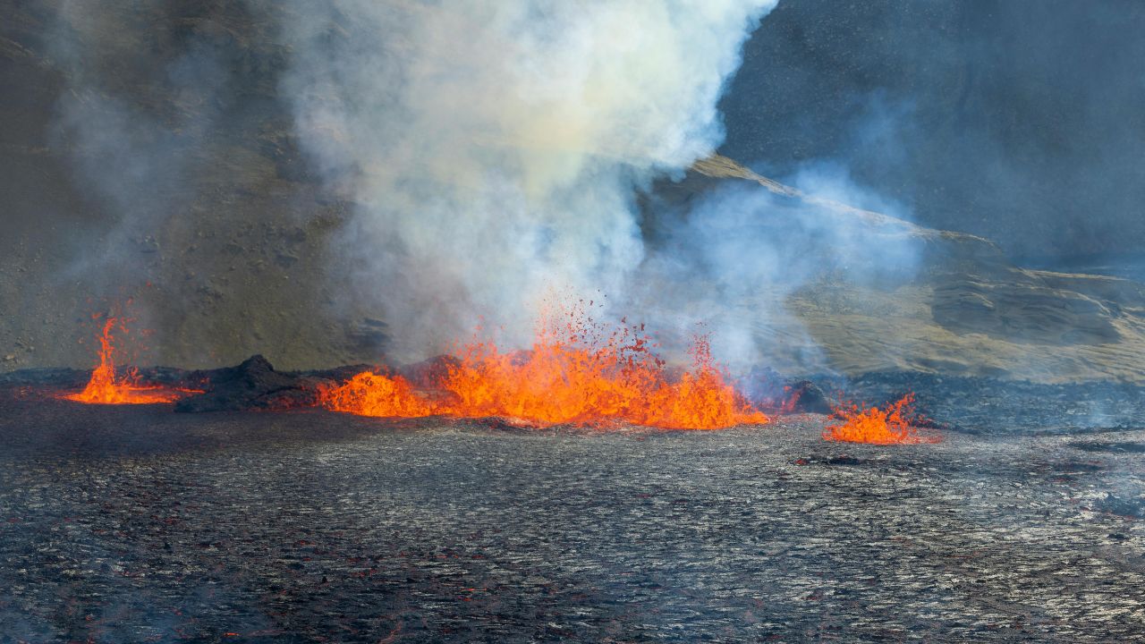
Papua New Guinea lies directly on the Pacific Ring of Fire, a 40,000-kilometer horseshoe of tectonic boundaries responsible for roughly 90% of the world’s largest earthquakes. Here, frequent shaking is not an anomaly but a defining feature of geography.
Subduction zones, volcanic arcs, and plate collisions converge across the region, shaping both the landscape and daily life. Earthquakes of moderate to strong intensity are an expected—if unpredictable—reality.
Plates in Constant Motion
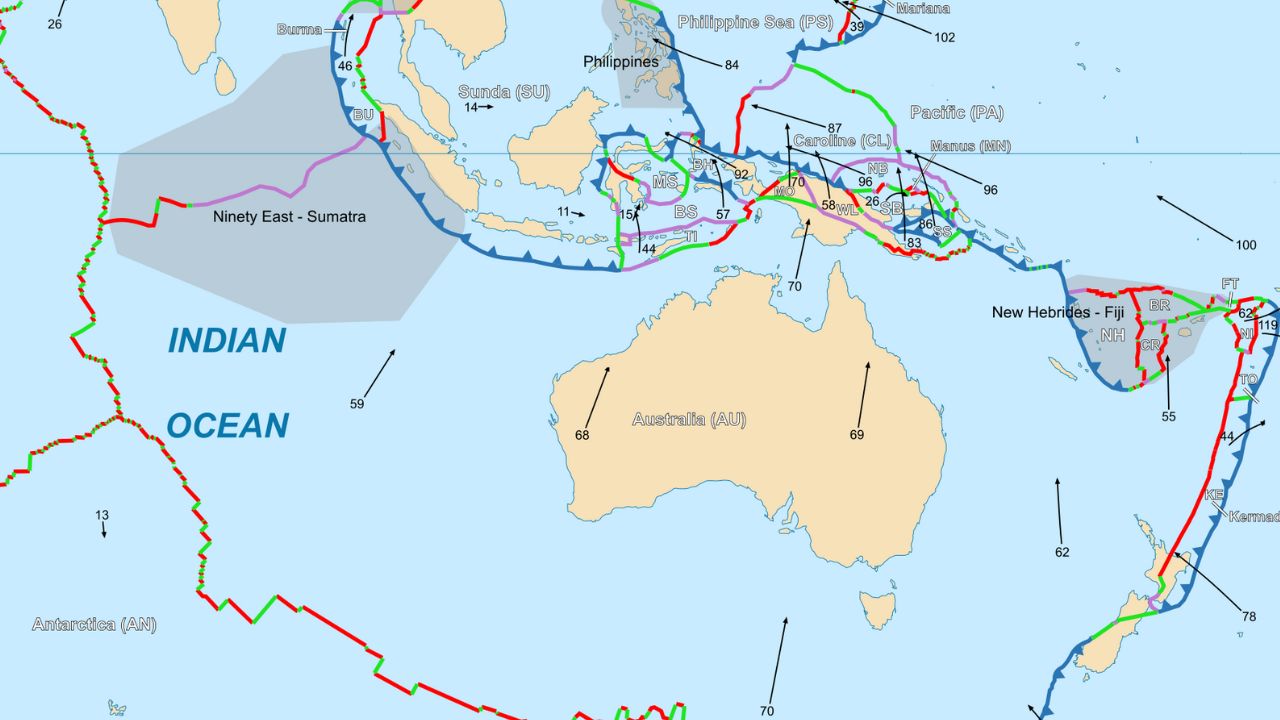
The earthquake originated along the complex boundary where the Pacific Plate interacts with the Australian Plate near New Guinea. In this region, the Pacific Plate slowly subducts southward beneath the Australian Plate at rates approaching several centimeters per year.
That steady motion builds stress deep underground. When released, it produces earthquakes like this one—often powerful, sometimes deep, and capable of transmitting shaking across large distances despite limited surface damage.
The Moment It Struck
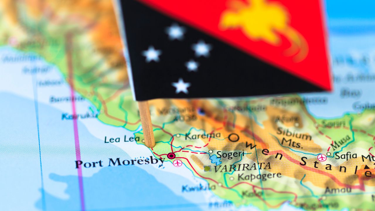
At 10:31 a.m. UTC on December 22, 2025, seismometers detected a magnitude-6.5 earthquake approximately 26 miles northeast of Goroka. The U.S. Geological Survey placed the hypocenter at a depth of about 68 miles, classifying it as a deep-focus event.
Such depth explains why the shaking traveled widely while sparing structures near the epicenter. Even so, residents across multiple provinces felt the earth move.
How Far the Shaking Spread
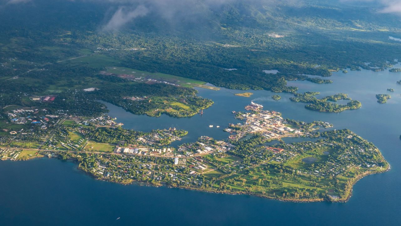
Shaking was reported throughout Eastern Highlands Province and into neighboring Madang Province, covering a broad swath of mountainous terrain.
Census data indicate more than 600,000 people live within the Eastern Highlands alone, with many more across surrounding regions likely experiencing light to moderate tremors.
The quake’s depth allowed seismic waves to propagate efficiently through bedrock, extending the felt area well beyond the immediate epicentral zone.
Communities React in Real Time
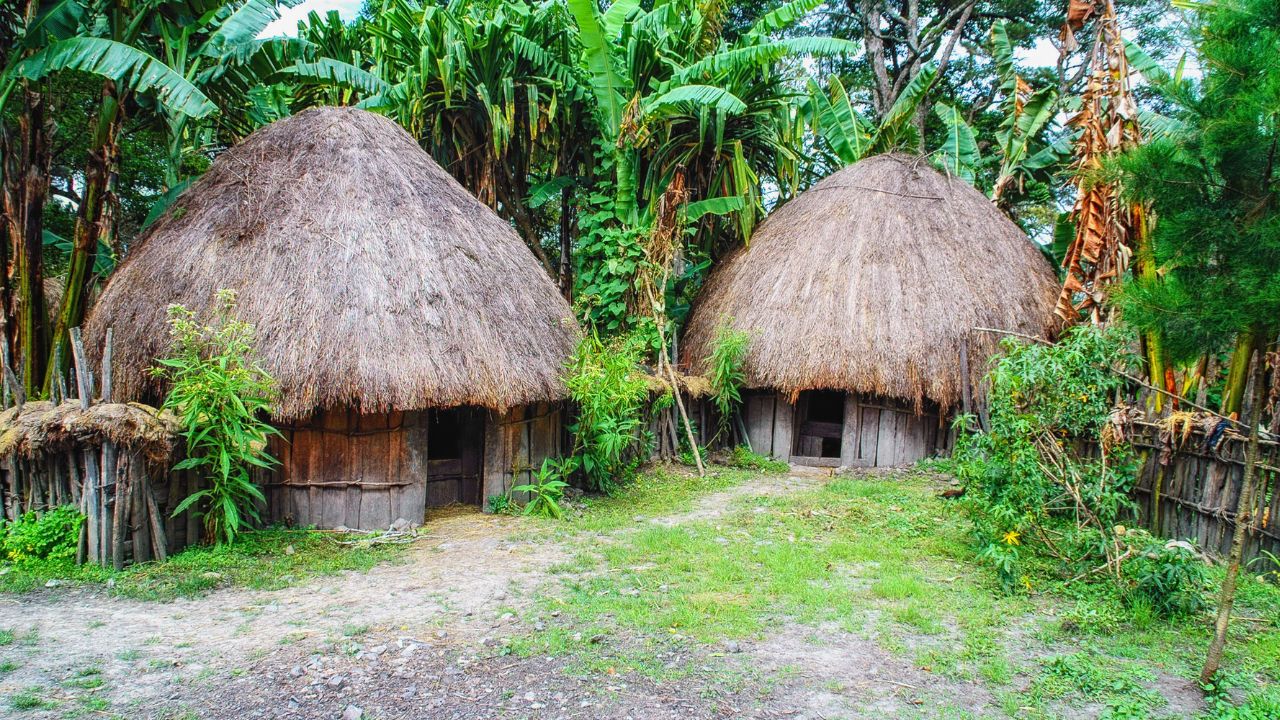
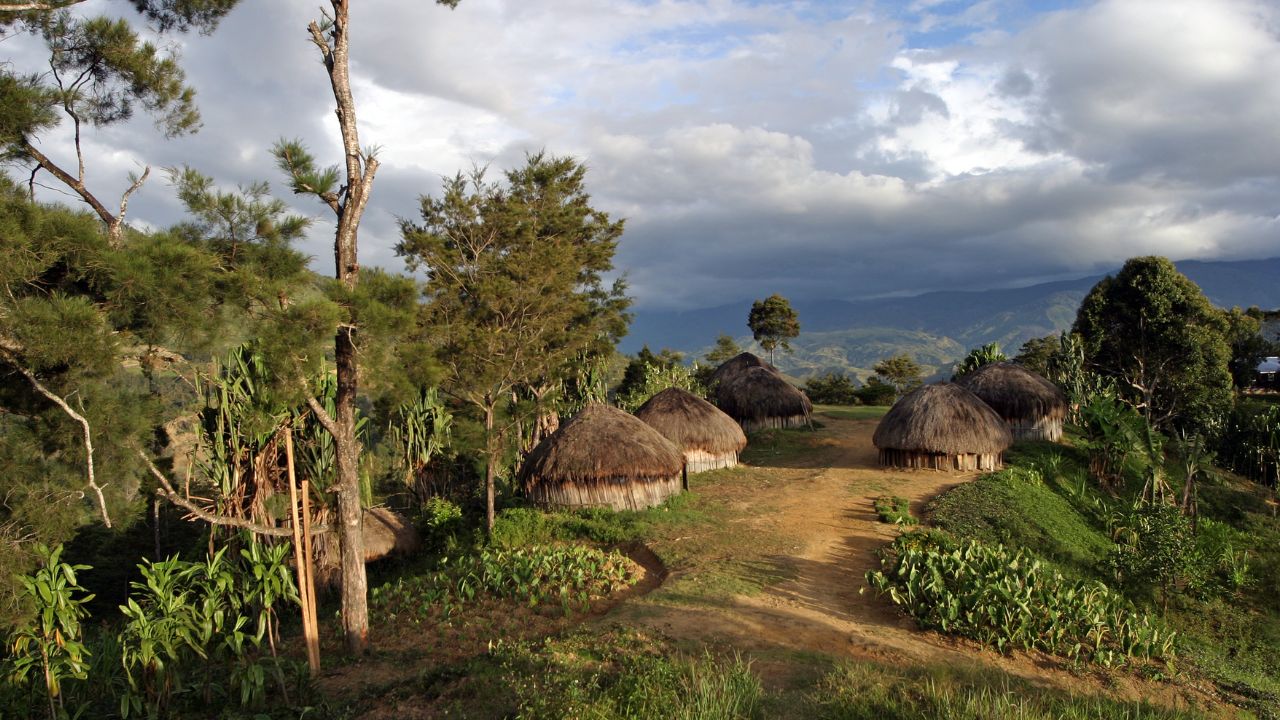
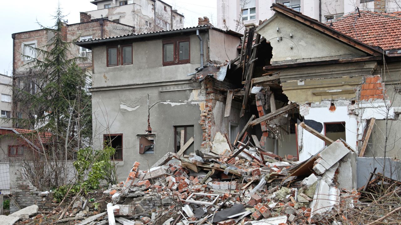
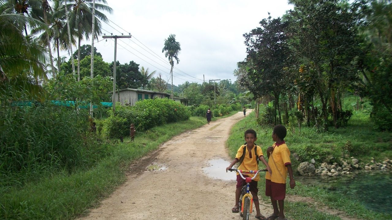
In Goroka and surrounding towns, residents described a sudden, unmistakable jolt that sent people outside to check their homes. Local officials confirmed no immediate casualties or structural collapses, but families in remote villages inspected dwellings built on steep slopes.
For many communities accustomed to seismic risk, the quake still triggered momentary fear—especially given its strength and the ongoing sequence of Pacific Rim earthquakes this year.
A Green Alert, With Caveats
The USGS issued a green PAGER alert following the quake, indicating a low likelihood of fatalities or major economic losses. The assessment reflected the earthquake’s depth and the region’s sparse infrastructure.
Global Disaster Alert and Coordination System (GDACS) monitoring echoed the low humanitarian impact estimate. Still, authorities continued tracking aftershocks, aware that even deep earthquakes can occasionally influence stress patterns in shallower faults.
A Volatile Year for the Ring
This earthquake joins a notable 2025 sequence that includes July’s magnitude-8.8 Kamchatka megathrust and subsequent powerful aftershocks. Across the Pacific Rim, scientists have logged clusters of significant earthquakes affecting multiple continents.
While such activity does not imply a single connected event, it underscores how energy is continually released along the Ring of Fire. Papua New Guinea remains one of the world’s most consistently active zones.
Why Depth Matters

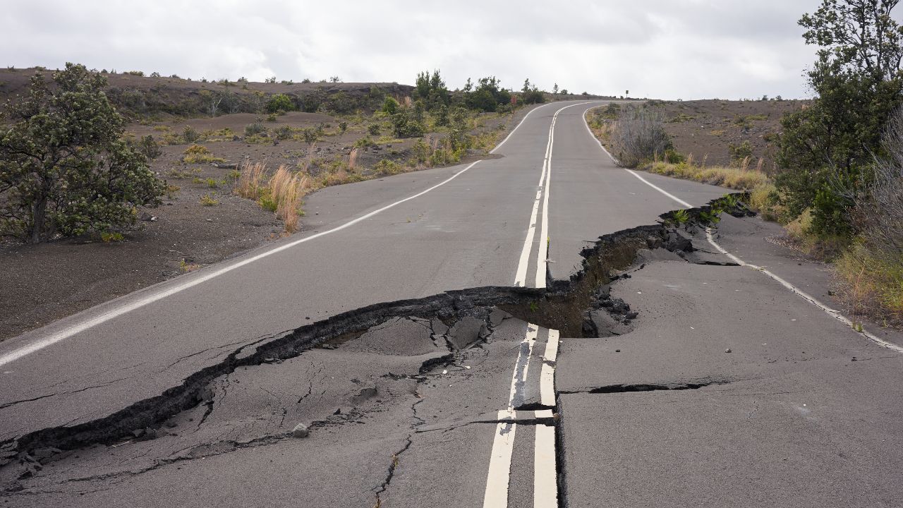
At roughly 110 kilometers deep, this quake released most of its energy far below the surface. Deep-focus earthquakes tend to cause less surface destruction than shallow events of similar magnitude. Buildings experience reduced acceleration, and landslides are less likely.
That distinction explains why a 6.5-magnitude quake could be widely felt yet cause minimal damage—an outcome very different from what would be expected if the rupture had occurred closer to the surface.
Strain on Remote Regions

Even without visible destruction, repeated earthquakes place strain on remote provinces like Eastern Highlands. Limited road access, rugged topography, and dispersed populations complicate emergency response and infrastructure assessments.
Local leaders have increasingly voiced concerns about preparedness, particularly in villages far from major towns. Each strong tremor reinforces the reality that resilience in Papua New Guinea depends not only on geology, but on sustained investment in monitoring and response capacity.
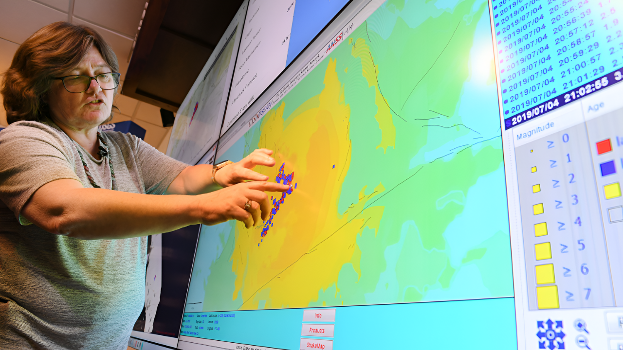
National Monitoring Intensifies
Following the quake, Papua New Guinea’s national leadership coordinated closely with international monitoring agencies to assess risks. Government officials emphasized continued surveillance rather than emergency escalation.
The focus remained on data collection, aftershock tracking, and information sharing. With the country straddling multiple active faults, authorities view each event as part of a long-term seismic landscape rather than an isolated crisis—one requiring constant vigilance rather than short-term alarm.
Preparedness After the Shaking
In the days after the quake, local authorities reinforced earthquake safety messaging in highland communities. Drills, public advisories, and coordination with village leaders aimed to ensure readiness for future events.
International partners, including USGS-supported initiatives, continue assisting Papua New Guinea in upgrading seismic networks. Improved instrumentation helps scientists refine depth estimates and better understand how stress accumulates beneath the region’s complex plate boundary.
What Seismologists Observed
Seismologists noted that initial automated estimates were later refined to confirm the quake’s 6.5 magnitude and deep origin. Such revisions are common as additional seismic data arrives from global stations.
Experts emphasized that deep earthquakes often produce fewer aftershocks than shallow ones, but monitoring remains essential. Even when immediate impacts are minimal, each event provides valuable insight into the mechanics of subduction beneath New Guinea.
Looking Ahead Beneath the Surface
Scientists caution that subduction zones do not release stress evenly. Deep earthquakes can coexist with shallow fault systems that remain locked. While this quake alone does not signal an imminent larger event, it reinforces the long-term seismic risk facing Papua New Guinea.
Continued monitoring of plate motion, seismic swarms, and stress transfer remains critical, particularly as regional seismic activity across the Pacific remains elevated.
Infrastructure and Policy Response

The Papua New Guinea government continues working with international partners, including development banks, to strengthen infrastructure in seismically active regions. Projects focus on resilient construction, transportation access, and emergency coordination.
Provincial leaders in the Highlands have repeatedly called for expanded funding, arguing that preparedness must match the geological reality. Each earthquake adds urgency to those requests, even when damage is avoided.
Regional Watch Across the Pacific
Although no tsunami threat was generated, neighboring Pacific nations monitored the quake closely. Australia and other regional partners routinely track seismic events in Papua New Guinea due to shared plate boundaries.
The heightened alertness follows recent large earthquakes elsewhere in the Pacific, including Kamchatka. While no direct linkage is established, the pattern reinforces the interconnected nature of tectonic systems across the ocean basin.
Environmental Impact Kept in Check
Unlike shallow earthquakes that can trigger landslides or river blockages, this deep event caused no known environmental disruption. Papua New Guinea’s steep terrain is highly vulnerable to slope failure during surface-focused quakes, making depth a critical factor in limiting secondary hazards.
Scientists noted that the lack of landslides or ecosystem damage aligns with expectations for a deep-focus earthquake of this magnitude.
Tradition Meets Modern Alerts

For many highland communities, earthquakes carry cultural meaning alongside scientific explanation. Some interpret tremors through ancestral narratives, even as modern alerts arrive via radio and mobile networks.
The coexistence of traditional understanding and contemporary seismic monitoring reflects Papua New Guinea’s unique social landscape—where ancient relationships with the land intersect with real-time data from global scientific institutions.
Why This Quake Still Matters

This magnitude-6.5 earthquake may have caused little damage, but its significance lies deeper. It highlights how more than 600,000 people in Papua New Guinea’s Eastern Highlands live atop one of Earth’s most active tectonic boundaries.
As the Pacific Rim experiences a sustained surge in seismic activity, events like this serve as reminders that the Ring of Fire is never dormant—only temporarily quiet between releases.
Sources:
“M 6.5 – 42 km NNE of Goroka, Papua New Guinea.” United States Geological Survey (USGS), 22 Dec 2025.
“M 6.5 in Papua New Guinea on 22 Dec 2025 10:31 UTC.” Global Disaster Alert and Coordination System (GDACS), 22 Dec 2025.
“Ring of Fire.” Encyclopædia Britannica, 8 Dec 2025.
“2025 Kamchatka earthquake.” Wikipedia, 30 Jul 2025.