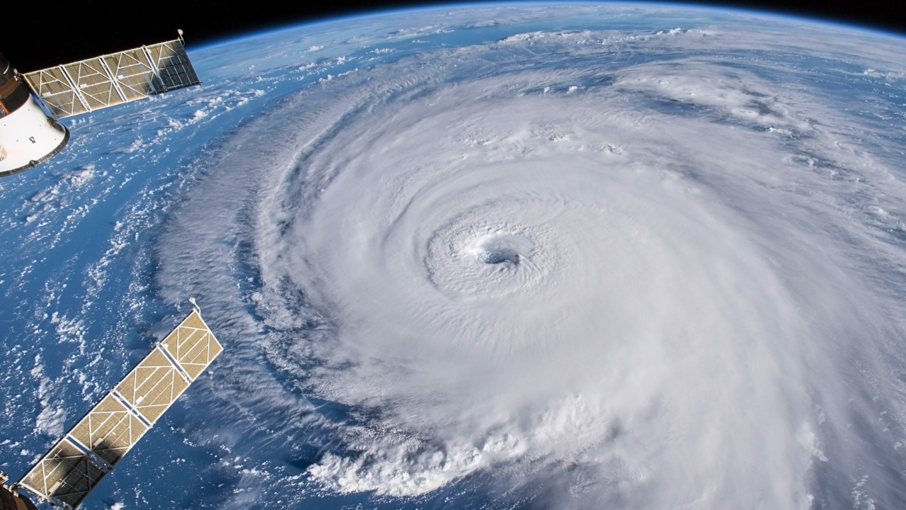
Late Tuesday night, meteorologists began tracking a rapidly intensifying storm offshore. A bomb cyclone — defined by an extreme pressure drop in just 24 hours — is forecast to develop off the California coast on Christmas Eve.
As it strengthens, forecasters warn of damaging winds, widespread power outages, and dangerous travel conditions. High Wind Watches stretch across Northern and Central California, placing millions directly in the storm’s path as the holiday begins.
What Makes This Storm a Bomb Cyclone
This system qualifies as a bomb cyclone if surface pressure falls at least 24 millibars in 24 hours, one of the most explosive intensification thresholds in meteorology.
Forecast models show conditions aligning rapidly offshore, fueled by strong temperature contrasts and abundant Pacific moisture. These storms are known for producing violent winds, rapidly deteriorating conditions, and large-scale impacts — especially when they strike populated coastlines with little warning.
Entire Bay Area Under High Wind Watch

The National Weather Service has issued a High Wind Watch covering the entire San Francisco Bay Area, along with Mendocino and Lake Counties.
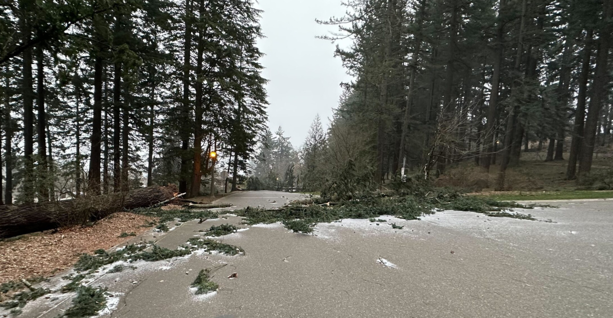
Sustained winds of 25–35 mph are expected, with gusts climbing to 60–70 mph in exposed areas. In higher terrain and along the coast, gusts may exceed 70 mph. Officials warn that trees and power lines could come down overnight as conditions worsen.
Millions Face Possible Holiday Power Outages
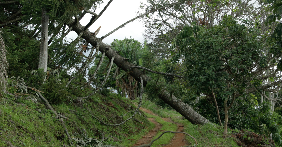
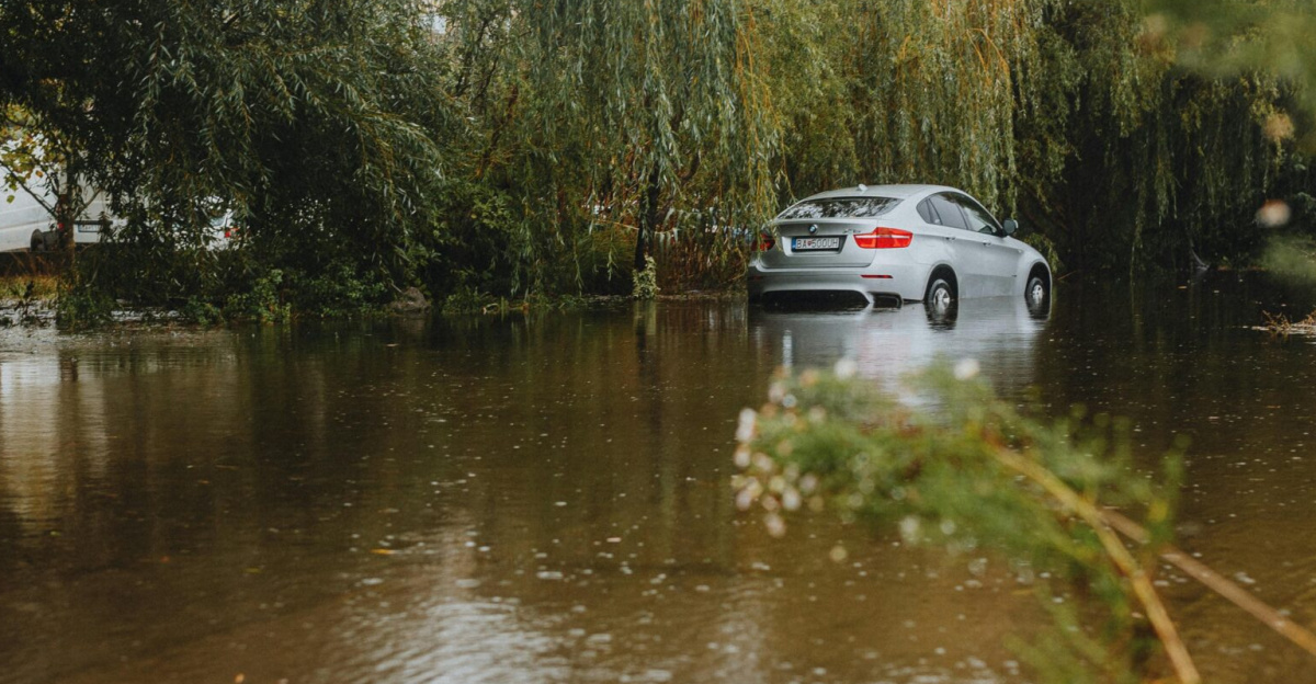
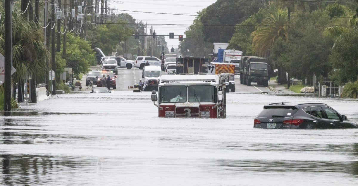
With damaging winds expected to peak during the overnight hours, widespread power outages are a major concern. Strong gusts combined with rain-softened soil significantly increase the risk of falling trees and downed power lines.
In the Bay Area alone, roughly 7–8 million residents fall under the High Wind Watch. Across Northern and Central California, the number of people potentially impacted rises into the tens of millions.
Atmospheric River Adds a Second Threat
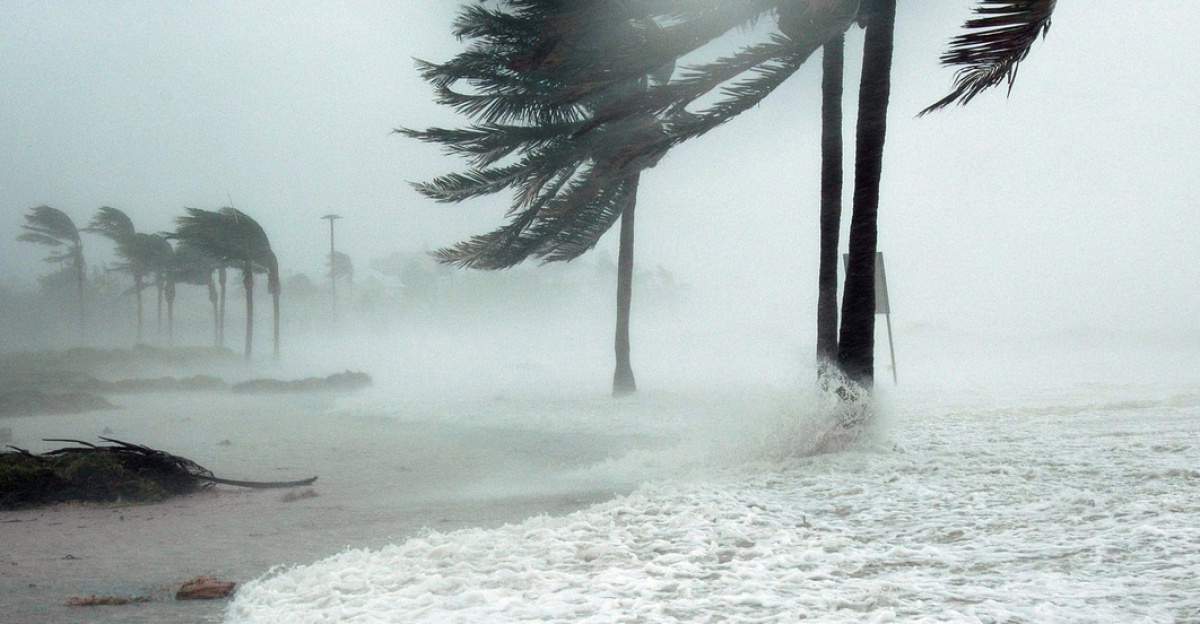
This storm does not arrive alone. An atmospheric river is forecast to accompany the bomb cyclone, delivering heavy rain at the same time winds intensify. The combination dramatically raises the risk of flooding, infrastructure damage, and travel disruption.
Heavy precipitation is expected across coastal and inland regions, while mountain areas could see significant snowfall. Together, wind and rain create a compounding hazard rarely aligned so precisely.
Winds Could Turn Severe Inside Thunderstorms
Meteorologists warn that some of the strongest gusts may not come from the broader wind field alone. Embedded severe thunderstorms within the storm system could produce localized surface gusts exceeding 60 mph.
These bursts can arrive suddenly, making conditions especially dangerous for drivers and anyone outdoors. Strong wind shear within the system also raises the risk of isolated tornadoes — an unusual but real possibility in California.
Tornado Risk Adds Rare California Twist

Tornadoes are uncommon in California, but forecasters say this storm’s wind structure could support “a tornado or two,” particularly in Northern and Central regions.
Strong directional wind shear — more typical of Midwest storm systems — is expected as the cyclone intensifies. While the risk remains low, it is notable enough for meteorologists to flag publicly, underscoring how atypical and dynamic this Christmas Eve storm has become.
Storm Timing Maximizes Holiday Disruption
The worst conditions are expected to arrive late Tuesday night into early Wednesday morning, placing peak impacts squarely on Christmas Eve and Christmas Day.
Overnight timing increases risk, as falling trees, power outages, and flash flooding are harder to detect in darkness. Holiday travel, emergency response, and power restoration efforts may all face added complications as the storm strengthens during one of the year’s busiest periods.
Travel Becomes Dangerous for High-Profile Vehicles
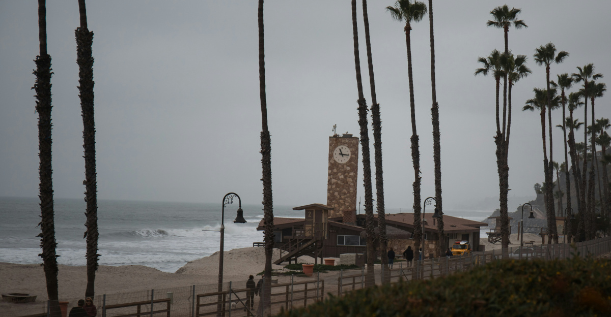
The National Weather Service warns that travel could become difficult, especially for high-profile vehicles such as trucks, vans, and RVs. Strong crosswinds can destabilize vehicles on bridges, open highways, and elevated roadways.
With wind gusts potentially exceeding 70 mph in some areas, even short trips could become hazardous. Officials urge residents to avoid unnecessary travel during peak wind periods.
Higher Terrain and Coastline Face Worst Winds
Forecast guidance shows the strongest winds focusing along the coastline and across higher elevations. These areas are most exposed to the full force of the storm’s pressure gradient.
Coastal communities may experience prolonged gusts capable of structural damage, while mountainous regions face enhanced risk from falling trees and blocked roadways. Conditions could deteriorate rapidly as the cyclone deepens offshore.
Power Restoration May Take Time
If outages become widespread, restoration could be slow due to continued wind and rain. Crews often must wait until gusts drop below safe thresholds before beginning repairs.
Downed trees, flooded access roads, and scattered damage can further delay response efforts. For many households, this raises the possibility of waking up on Christmas morning without electricity, heat, or reliable communication.
Impact Zone Extends Beyond California
While California sits at the center of the storm, impacts are expected to extend into neighboring states. Forecasts include strong winds affecting southern Oregon and western Nevada, including areas near Medford and Reno.
Gusts in these regions could reach 60–65 mph, creating travel issues and potential power disruptions. In total, three to four states may feel effects from this expansive storm system.
Forecasters Saw the Pattern Shift Days Ahead
Meteorologists flagged this potential pattern change nearly a week in advance. Early signals pointed to a rapidly deepening Pacific system capable of bomb cyclone development.
As newer model runs converged, confidence grew in the storm’s intensity and timing. Still, forecasters note lingering uncertainty over just how quickly the system will “bomb out,” keeping attention tightly focused on last-minute updates.
Why This Storm Stands Out Historically
Bomb cyclones are among the most aggressive storm types in the mid-latitudes, and their arrival on Christmas Eve magnifies disruption potential.
The combination of explosive intensification, atmospheric river rainfall, severe wind risk, and even tornado potential makes this system especially unusual for California. It challenges assumptions about “mild” West Coast winter storms and highlights how dynamic holiday weather can become.
The Final Countdown to Landfall

As Christmas Eve approaches, the window for preparation is narrowing. High Wind Watches remain in effect, and forecasters continue refining impact zones hour by hour. Late Tuesday night marks the critical transition as conditions rapidly deteriorate offshore.
For millions across Northern and Central California, the next update could determine whether Christmas begins quietly — or with howling winds, darkness, and storm damage.
Sources:
“Next Storm Could Become Bomb Cyclone as It Hits California.” San Francisco Chronicle, 20 Dec 2025.
“Powerful Atmospheric River Packing Heavy Rain, Mountain Snow Targets California Christmas.” FOX Weather, 19 Dec 2025.
“Bay Area Braces for Storm That Could Become a Rare Bomb Cyclone Ahead of Holiday Travel.” KQED, 21 Dec 2025.
“Bomb Cyclone Possible As Deadly Storm Conditions Are Expected To Slam SoCal Over Christmas.” Patch, 21 Dec 2025.