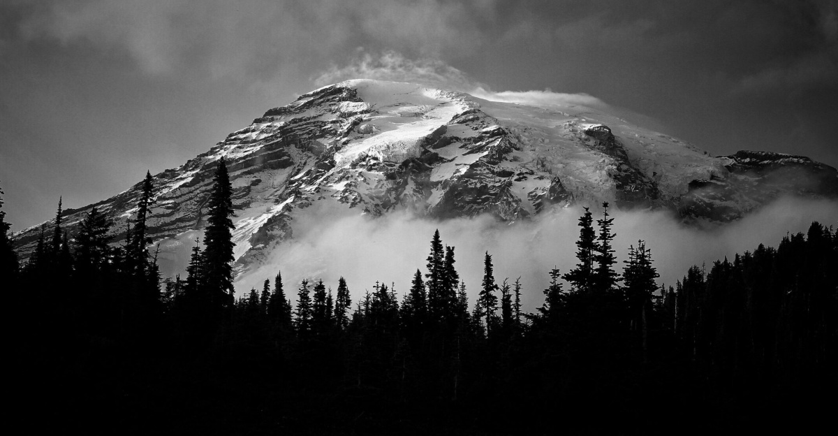
In mid-November 2024, headlines across Washington state warned of 72 hours of near-continuous volcanic tremor at Mount Rainier, with seismometers detecting overlapping vibrations 80–90% of the time. Residents and scientists watched closely as the iconic peak, looming over populated valleys, stirred fears of unrest beneath its glaciers.
Why Rainier’s Activity Stirs Concern
This episode came after Rainier’s largest earthquake swarm on record in July 2025, when over 1,000 quakes shook the volcano across several weeks—dwarfing a 2009 swarm that lasted just three days. U.S. Geological Survey data shows no ground swelling or eruption-style quakes, pointing instead to shifting hydrothermal fluids rather than rising magma. Such fluids, however, can weaken slopes and ice, setting the stage for lahars—fast-moving mudflows that pose the greatest threat to nearby communities.
Communities in the Lahar Zones
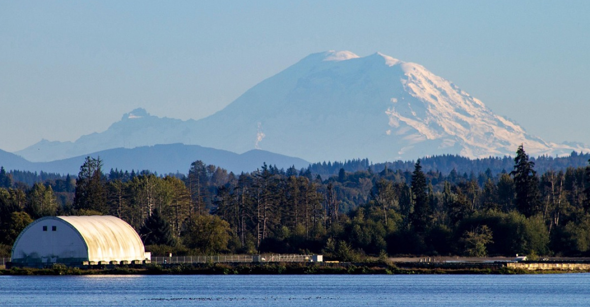
Some 150,000–250,000 people reside in river valleys draining Mount Rainier, including Orting, Sumner, and Tacoma suburbs. Hazard maps indicate 50,000–80,000 homes vulnerable to lahar inundation from a flank collapse, heavy rain, or eruption. These flows race downstream at over 30 meters per second, carrying debris more than 80 kilometers and overwhelming areas before aid arrives.
Infrastructure at Risk
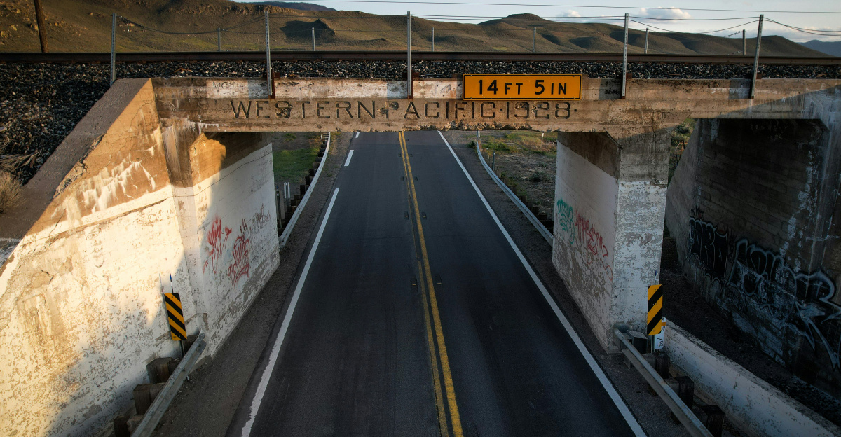
Housing density and mapping reveal $5–10 billion in exposed bridges, highways, rail lines, and utilities. Key routes between Seattle and Tacoma thread these valleys, fed by the Puyallup, White, Nisqually, and Cowlitz rivers. A major lahar could sever these links, halting commerce through Puget Sound ports that manage Asia-North America trade in electronics, grain, and more.
The False Alarm and Historic Echoes
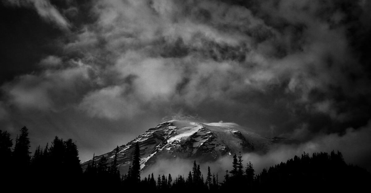
The November tremor grabbed national attention but was clarified on November 18-19, 2025, by the Pacific Northwest Seismic Network: it stemmed from radio interference due to rime ice on a single station’s antenna at 11,000 feet on Rainier’s west flank. Genuine volcanic signals span multiple stations; isolated artifacts do not signal eruption. History offers stark reminders—the Osceola Mudflow 5,600 years ago reached 80 kilometers to Puget Sound, now home to subdivisions and industry near Tacoma, Auburn, and Kent.
Preparedness and Detection Efforts
Over the past decade, agencies installed automated lahar sensors along major drainages, offering tens of minutes of siren warnings for nearby towns. Officials grapple with regulating growth, funding tall evacuation towers, and sustaining these networks. The 1980 Mount St. Helens lahars destroyed 200 homes and 185 miles of roads; Rainier’s larger glaciers and elevation could amplify such damage amid denser development. USGS holds Rainier at “green/normal” alert, but swarms prompt go-bags, drills, and route familiarization in Pierce County.
Forward Challenges for the Region
Mount Rainier’s “Very High Threat” ranking reflects its lahar risks and population exposure, not imminent eruption. Monitoring catches real signals amid false alarms, while lahars can strike without magma via collapses or storms. Balancing growth, resilience, and clear communication remains key as valleys adapt to this active volcano’s shadow, safeguarding lives, ecosystems, and trade against inevitable future flows.
Sources:
U.S. Geological Survey Mount Rainier monitoring and hazards documentation
Pacific Northwest Seismic Network official statements and seismic data
USGS Volcano Hazards Program lahar research and detection systems
USGS Mount St. Helens 1980 eruption summaries
PNSN official statement, November 29, 2025 (tremor debunking)
KOMO News, November 20, 2025