
For up to 15 million Californians, the week before Christmas is shaping up as a dramatic collision between environmental extremes. Just days after the northern Sierra Nevada reached a historic snowpack low of only 4 to 5 percent of normal, the state faces a sudden deluge from an “atmospheric river trilogy”—three consecutive storms that could transform holiday plans into a crisis management exercise.
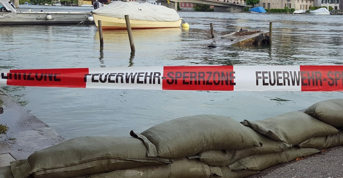
The meteorological irony is stark. A region gripped by weeks of drought now confronts a “drought-to-deluge” whiplash that leaves parched soil unable to absorb incoming water quickly enough, intensifying runoff risks across major population centers from the San Francisco Bay Area to the Sacramento Valley. Between December 20 and 22, two initial atmospheric rivers will prime the landscape, thoroughly saturating the ground. When the strongest system arrives on Christmas Eve, hydrologists warn of a “flash flood multiplier effect”—making the final wave exponentially more dangerous than the first.
The Pineapple Express and a Level 3 Threat
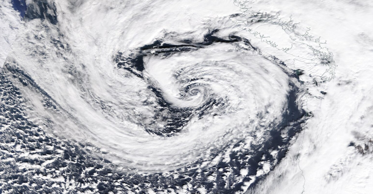
This is not routine winter rain. The incoming system represents a classic “Pineapple Express” setup, channeling tropical moisture directly from Hawaii toward California’s coast. The Weather Prediction Center has designated a Level 3 moderate risk of flash flooding for the Napa-to-Chico corridor, a designation that places local emergency services on heightened alert. With Integrated Vapor Transport values reaching extreme levels, forecasters predict a month’s worth of rainfall will fall within days.
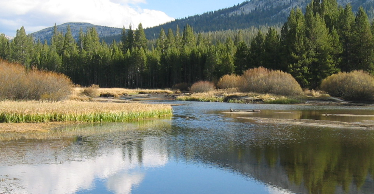
The Sierra Nevada faces the most intense precipitation. Over a seven-day window, 10 to 20 inches of liquid precipitation are forecast to fall on the high country. While warmer temperatures initially mean rain rather than snow, this massive injection of water creates a dual threat: it refills critically depleted reservoirs but simultaneously spikes the immediate danger of rapid snowmelt and downstream flooding. Hydrologic models currently show a 47 percent probability that the Russian River at Hopland will exceed flood stage within ten days, while the Ventura River faces a 31 percent risk of similar conditions.
Historic Records and Power Threats
For Southern California, the forecast threatens to rewrite history books. If Los Angeles receives more than 3.82 inches during the peak of the system, it would mark the wettest two-day Christmas Eve and Christmas Day period on record. For a region famous for sunny holiday celebrations, the prospect of moving festivities indoors looms.
The wind dimension compounds the danger. Coastal communities are preparing for gusts that could reach 80 miles per hour between Tuesday and Wednesday. With soil already saturated by earlier rainfall, these winds carry a high probability of uprooting trees. Utility companies are warning that widespread power outages are possible, potentially leaving thousands of families without electricity during Christmas dinners. The second storm system is being monitored for rapid intensification that could evolve into a “bomb cyclone,” bringing potentially hurricane-force conditions to the coast Wednesday morning.
Travel Obstacles and Compounding Dangers
Between 500,000 and 1 million people are expected to travel through California this week, and the timing could scarcely be worse. Major airports including LAX, SFO, and Sacramento International are preparing for significant delays. On highways, drivers face a dangerous mix of hydroplaning risks and whiteout conditions, particularly on mountain passes where snow levels will drop to between 5,000 and 6,000 feet by Christmas Eve. The National Weather Service warns that travel through the Sierra could become impossible, urging people to complete their journeys before this critical transition occurs.
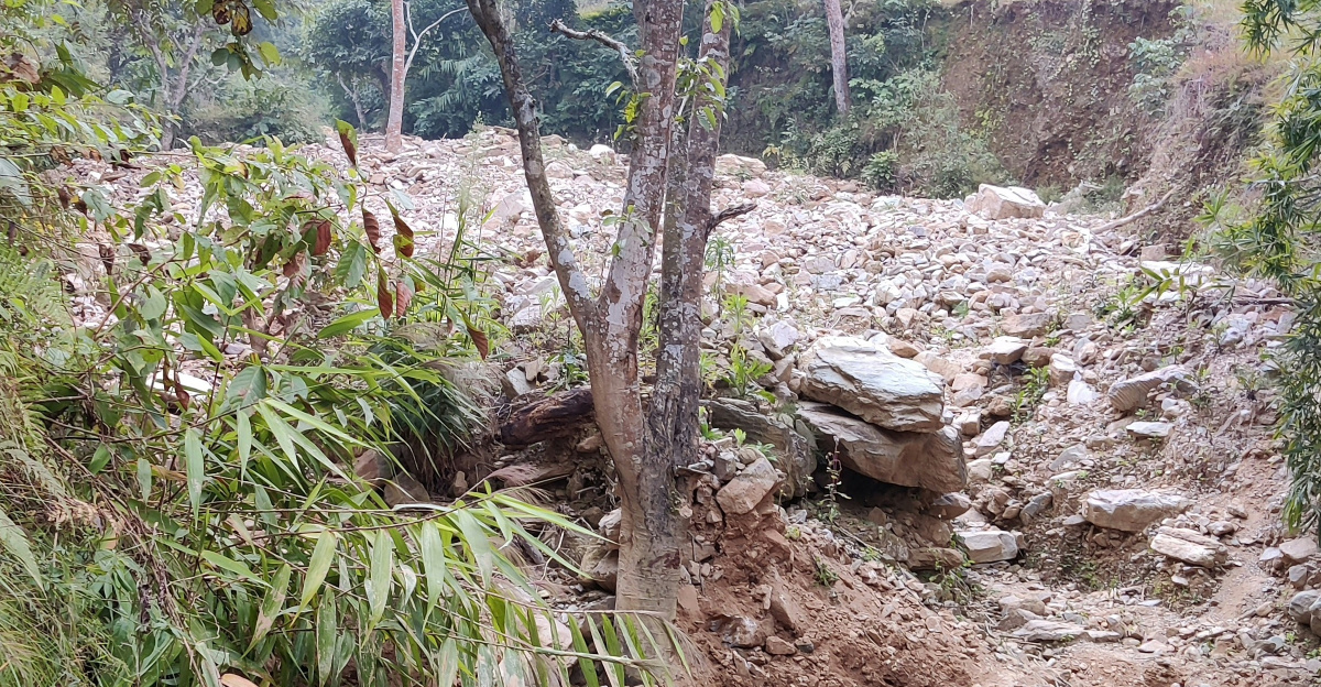
Communities near recent wildfires face additional peril. The Level 3 flash flood risk raises the specter of debris flows—fast-moving landslides of mud and ash that can bury homes in minutes. Emergency officials are closely monitoring burn scars, warning that intense rainfall rates forecast for Tuesday could trigger landslides in areas still recovering from past fires.
The Price of Chaos
Economists are calculating the potential fallout. The disruption to one of the year’s busiest commerce weeks, combined with physical infrastructure damage and agricultural losses, could produce an economic impact ranging from $500 million to $1 billion. For the estimated 100,000 homes in high-risk zones, the financial anxiety compounds holiday stress.
California’s ski industry may ultimately benefit, with Tuolumne Meadows facing a 55 percent chance of receiving over six feet of snow by Christmas. Yet this bounty comes with severe strings attached—extreme avalanche danger and likely road closures will render the fresh powder largely inaccessible to holiday visitors.
As Californians prepare for the holidays, this week will undoubtedly become one of the year’s most memorable weather events, one shaped far more by nature’s extremes than by seasonal cheer.
Sources:
10M Californians Under Level 3 Flash Flood Alert As ‘Pineapple Express’ Drops 20 Inches Through Christmas] – MSN
California could see Christmastime rain and snow, risking floods and landslides and snarling travel – Yahoo News
Next storm could become bomb cyclone as it hits California – San Francisco Chronicle
Pineapple Express Storm Threatens Record California Christmas Rain – Evri Magaci
Powerful atmospheric river packing heavy rain, mountain snow targets California Christmas – Fox Weather
Atmospheric river could deliver warm, wet Christmas to the Bay Area – Yahoo News