The Sahara Desert, long regarded as a desolate wasteland, contains the Richat Structure (Eye of the Sahara), a striking, large, eroded geological dome made of concentric rock layers that has upended many popular misconceptions about the region’s landscape and deep history.
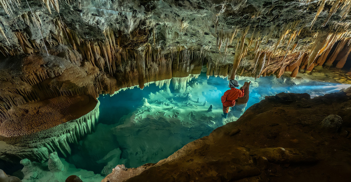
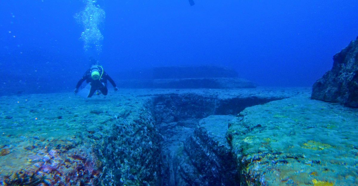
Before cutting-edge technologies like hyperspectral imaging, seismic surveys, and ground-penetrating radar were applied in desert research, features within and around this structure were often the subject of speculation, but modern studies now firmly describe it as a natural formation rather than an artificial spiral city or architectural network.
The Ancient Habitat and Changing Landscape of the Sahara
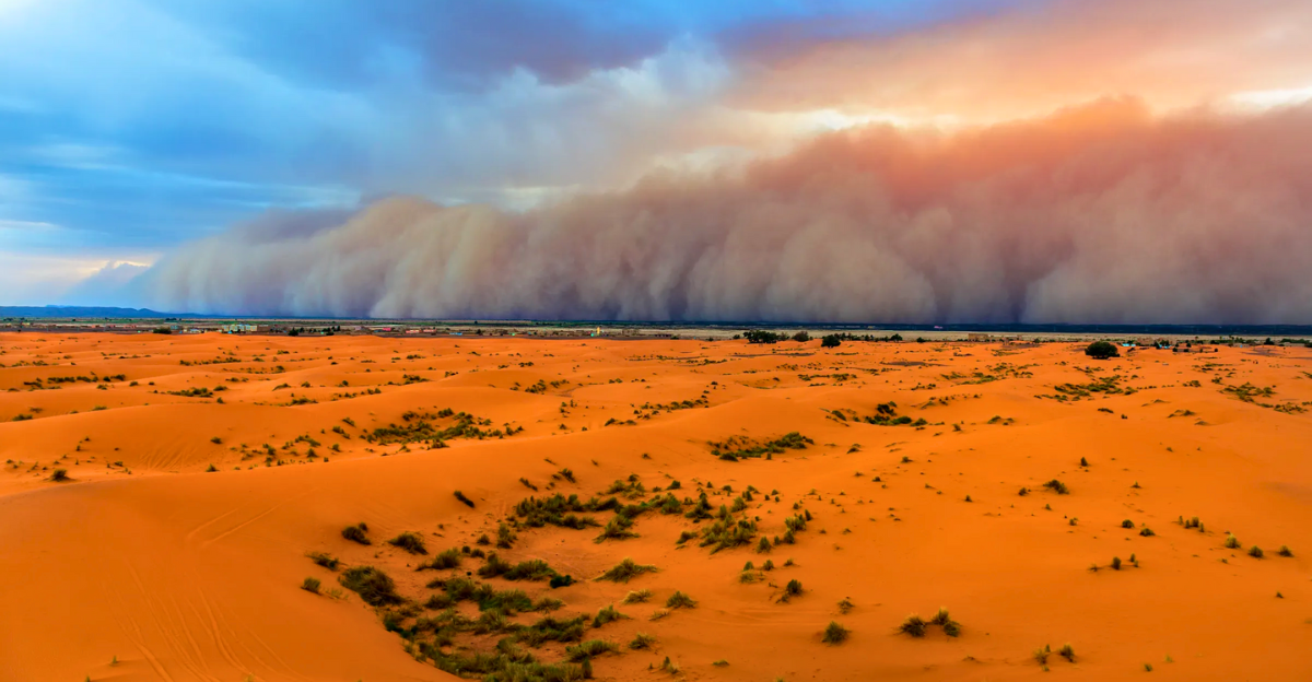
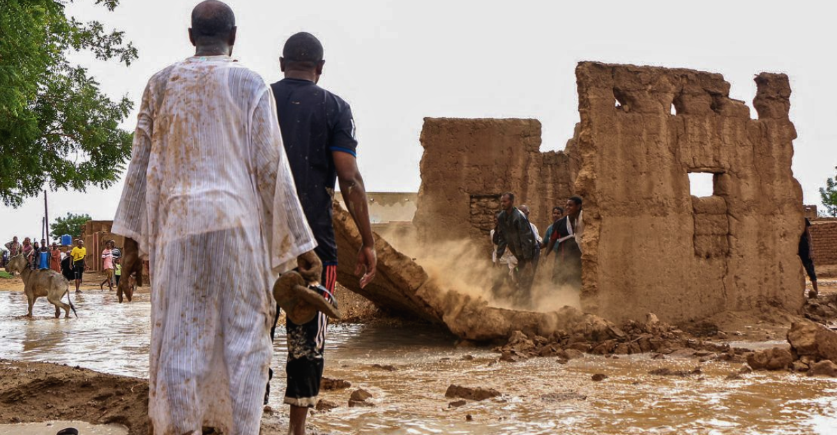
The vast desert that is now the Sahara was not always like this. Geological and climatic studies show that large parts of the Sahara were once a fertile savannah with rivers and lakes that could sustain wildlife and human settlements during the so‑called Green Sahara periods roughly between 10,000 and 5,000 years ago.
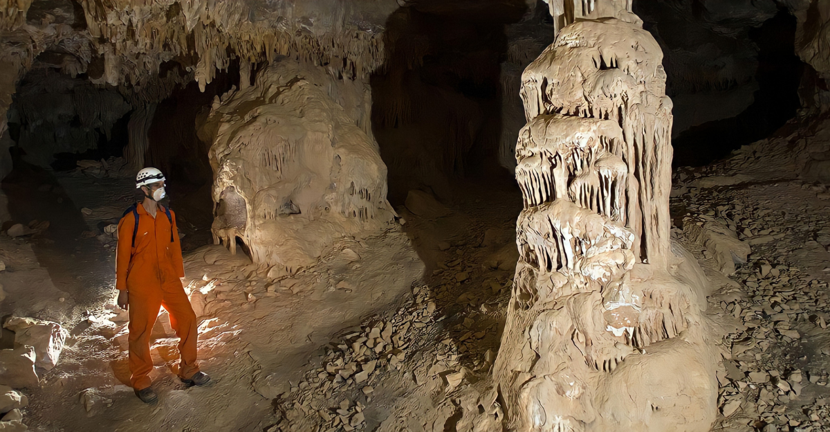
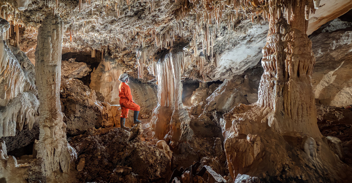
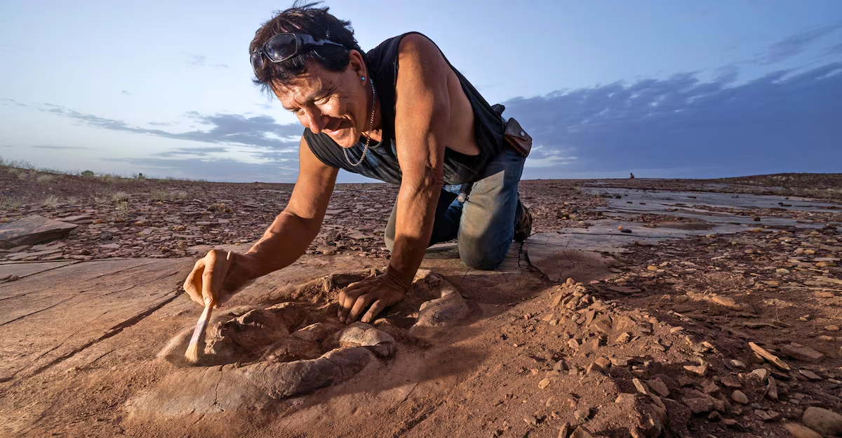
Ancient sites such as the Takarkori rock shelter in Libya preserve evidence of early herding and foraging communities that lived in these greener environments, although they are not directly connected to the Richat Structure itself
Innovations in Technology for Studying the Sahara
Advances in remote sensing and AI-assisted archaeology are primarily responsible for improving understanding of Sahara geology and archaeology. Synthetic Aperture Radar (SAR), high-resolution satellite imagery, and machine-learning algorithms enable the detection of surface and shallow subsurface anomalies across vast desert areas without the need for extensive excavation.
By helping distinguish natural patterns from potential archaeological ones, these technologies support more targeted fieldwork and contribute to mapping water resources, rock types, and past settlement traces across North Africa.
Environmental and Geological Processes at the Richat Structure
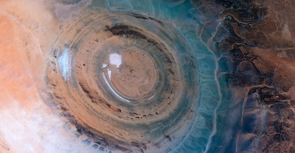
The distinctive appearance of the Richat Structure is the result of a complex geological history. Tectonic uplift, differential erosion of hard and soft rock layers, and ancient water flows combined over millions of years to create the concentric ringed landscape now visible from space.
Sediment layers and landforms in and around the Sahara also record shifts between wetter and drier climates, reflecting broader environmental changes over the late Quaternary period.
Material Evidence and Human Presence in the Region
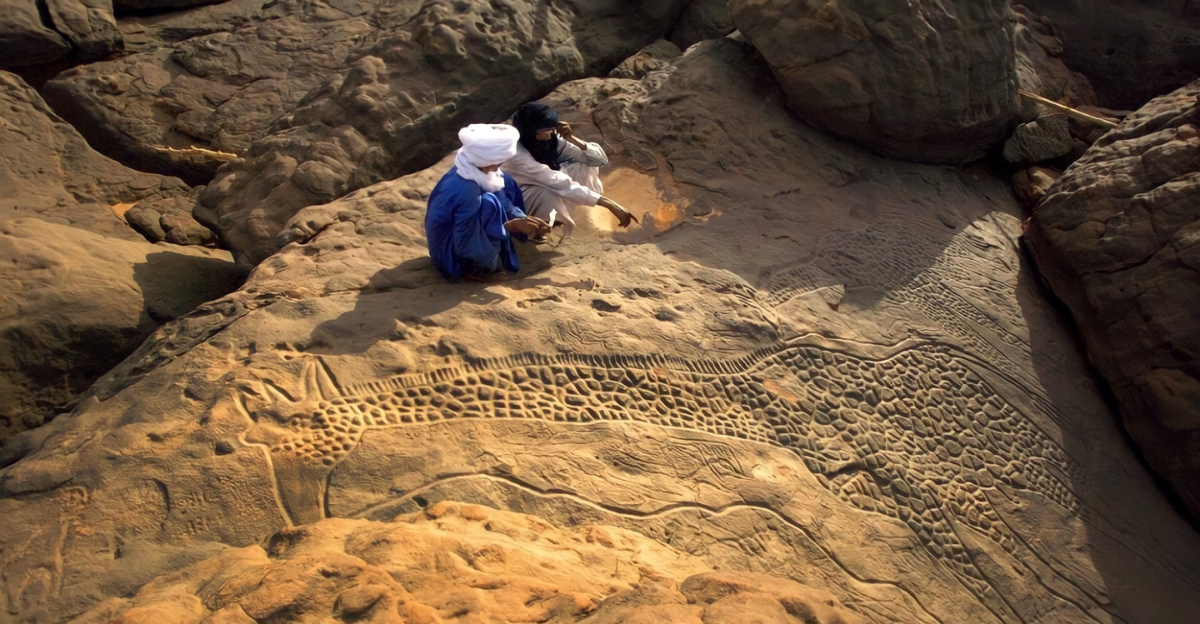
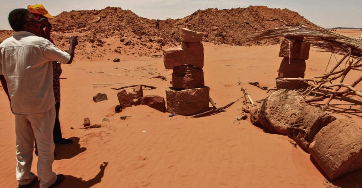
While there is no evidence for a buried spiral city or advanced unknown civilization at the Richat Structure, the broader Sahara preserves scattered artifacts from prehistoric peoples.
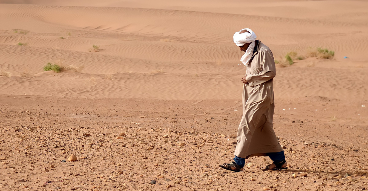
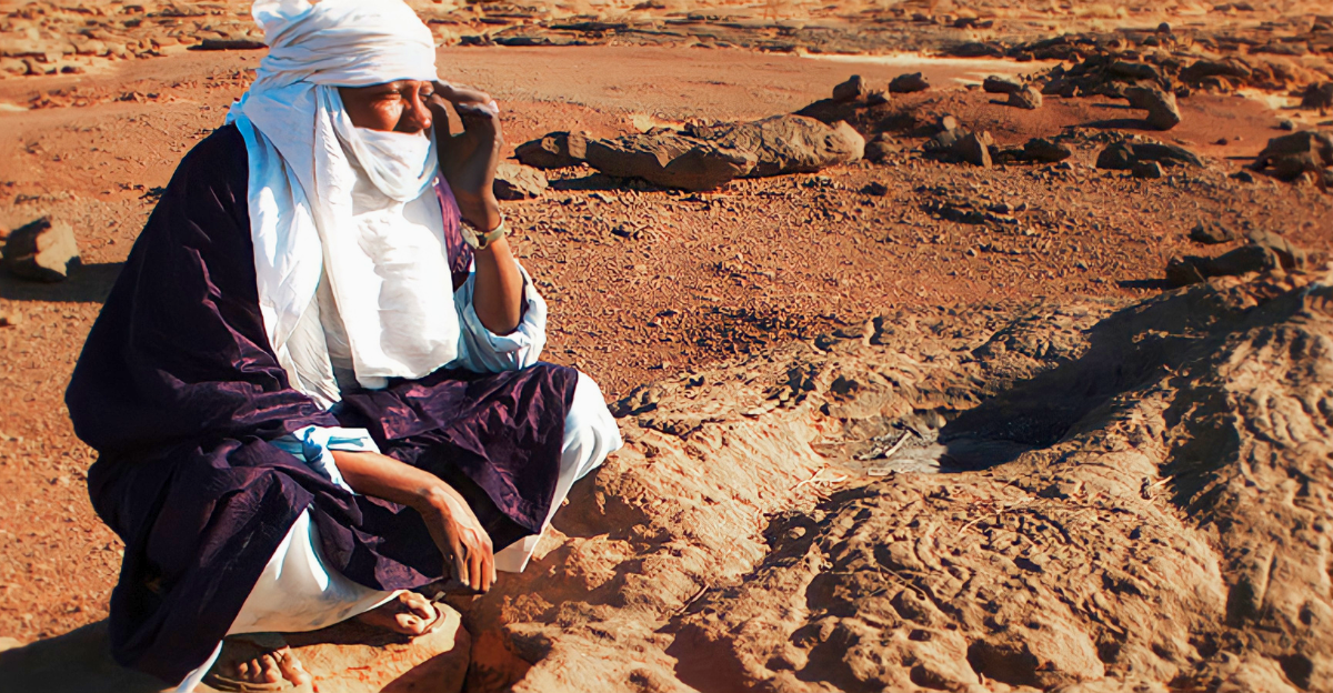
Stone tools and rock art at various Saharan sites, including regions of Mauritania and neighboring countries, point to repeated human use of the landscape during wetter phases, reflecting adaptation and mobility rather than large, long‑lived urban centers.
Debates, Myths, and Alternative Theories
Skeptics of fringe theories have repeatedly noted that claims of hidden cities or spiral complexes beneath the Richat Structure rely on visual resemblance and speculation, not on verified archaeological evidence.
Mainstream geologists and archaeologists describe Richat as a deeply eroded geological dome, and leading publications have emphasized that suggestions linking it to lost civilizations like Atlantis or vast underground settlements remain unsupported
The Role of Climate and Civilizational Change
Serious scientific debates about the Sahara focus on how climate shifts influenced human movement and cultural change rather than on hypothetical vanished high-tech societies.
Periods such as the Younger Dryas and later Holocene aridification events are studied for their impact on water availability, subsistence strategies, and the eventual abandonment of formerly green corridors, shaping the archaeological record seen today.
The Importance of the Sahara in Human History
Even without lost spiral cities, the Sahara offers a unique window into human resilience and environmental change. Research on past lakes, rivers, and settlement patterns underscores Africa’s central role in the story of early pastoralism, long-distance movement, and cultural innovation.
These findings have implications for archaeology, anthropology, geology, and climate science, illustrating how shifting environments can both enable and constrain human societies.
Potential Uses and Economic Considerations
Modern interest in the Sahara also involves resource exploration and regional development. Large mineral deposits, including iron ore, phosphates, and other resources, are already exploited in parts of North Africa, including Mauritania.
Advances in remote sensing and AI used to map geology and water resources may support more sustainable exploration while helping protect known and potential heritage sites from damage.
Lessons for Resilience and Planning
The Sahara’s environmental history, including phases when once‑inhabitable areas became arid, offers a cautionary context for thinking about present and future climate change. Archaeological and paleoenvironmental records from the region highlight how shifts in rainfall and temperature can reshape habitability over relatively short timescales.
These insights can inform modern discussions on adaptation strategies, settlement planning, and the preservation of vulnerable cultural landscapes.
Space Observation and the Eye of the Sahara
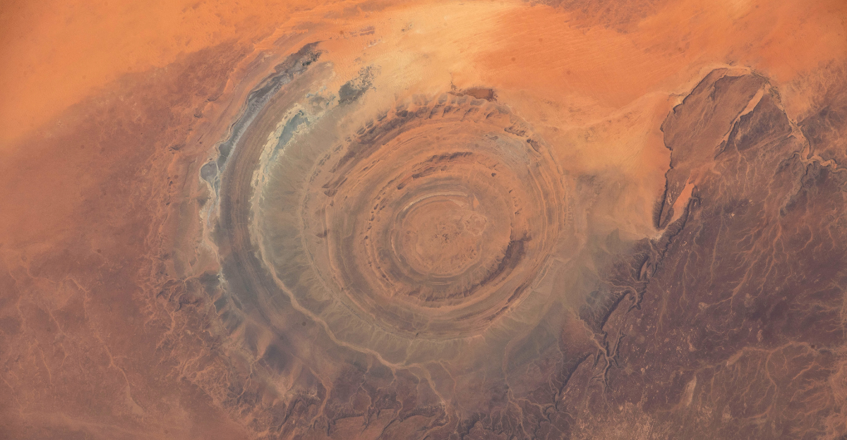
The Richat Structure has attracted attention from astronauts and satellite missions because of its striking appearance when viewed from space. Its concentric rings make it an easily recognizable landmark for crews aboard the International Space Station and for Earth‑observing spacecraft.
High-resolution imagery used to study the structure’s morphology also feeds into broader remote sensing efforts that monitor deserts, erosion patterns, and geological formations worldwide.
Rethinking Lost Civilizations Narratives
Popular media often invokes lost civilizations when confronted with unusual landforms, but scientific research on the Sahara underscores more gradual and complex stories of human adaptation.
Rather than revealing evidence of a single, highly advanced unknown culture, current data support multiple waves of hunter-gatherer and pastoralist groups responding to repeated environmental changes over thousands of years.
Symbolism, Mathematics, and Human Imagination
Although the concentric appearance of the Richat Structure and spiral-like motifs in world cultures inspire symbolic and mathematical interpretations, these belong more to the realm of cultural imagination than to verified archaeology at this specific site.
Spirals and circles in art, ritual, and architecture across different regions reflect shared human tendencies to encode cycles and cosmology, but they should not be conflated with the natural geology of Richat.
Impacts on Culture and Science
The visibility of the Eye of the Sahara in satellite imagery and online media has spurred public curiosity and a wave of documentaries, debates, and educational content about geology and ancient climate.
For scientists, the structure serves as a valuable case study in how uplift, erosion, and differential weathering shape continental interiors, while also highlighting the need to clearly communicate the difference between evidence‑based research and speculative narratives.
A Discovery That Clarifies Rather Than Mystifies
Ongoing geological and archaeological work in and around the Sahara continues to refine understanding of both the Richat Structure and the wider region’s past. Far from revealing an underground spiral metropolis, this research demonstrates how powerful natural processes and long-term climate shifts have sculpted an extraordinary landscape that humans have intermittently occupied and traversed.
In this way, the Eye of the Sahara stands as a testament to Earth’s dynamic history and to the importance of critical inquiry when interpreting visually striking features on our planet.