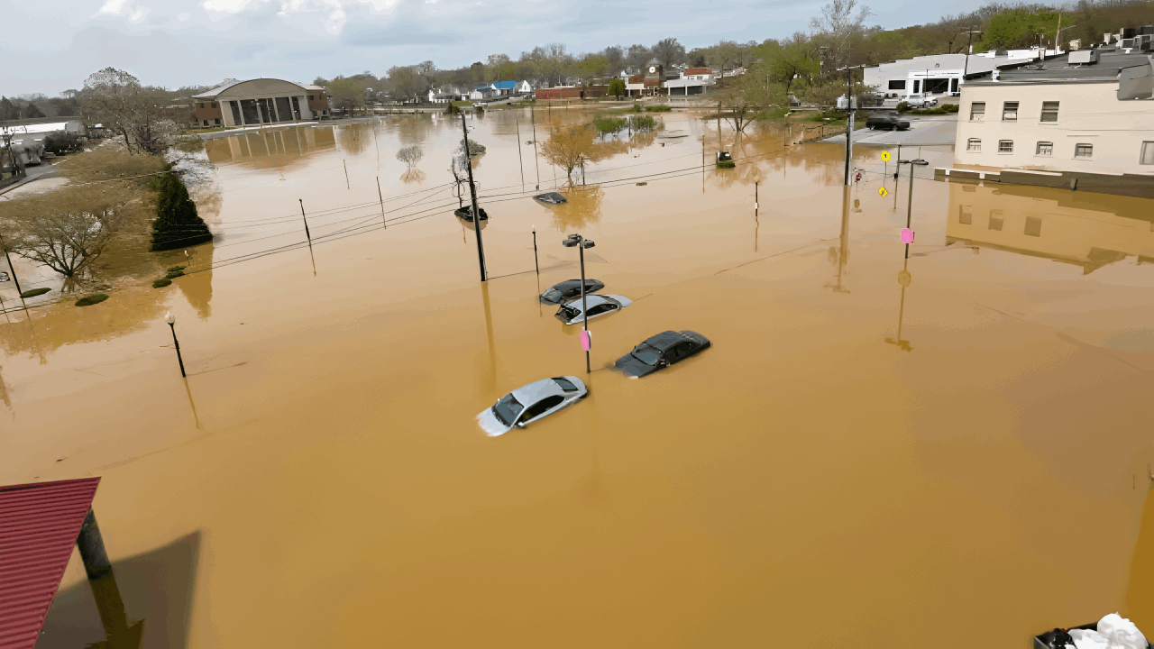
Tropical moisture has led to flash flood alerts in seven U.S. states, with forecasts predicting up to 5 inches of rain overnight.
The National Weather Service warns of potential widespread flooding and advises residents in the Mid-South and Lower Ohio Valley to stay updated on the situation.
Rainfall Intensity Warning

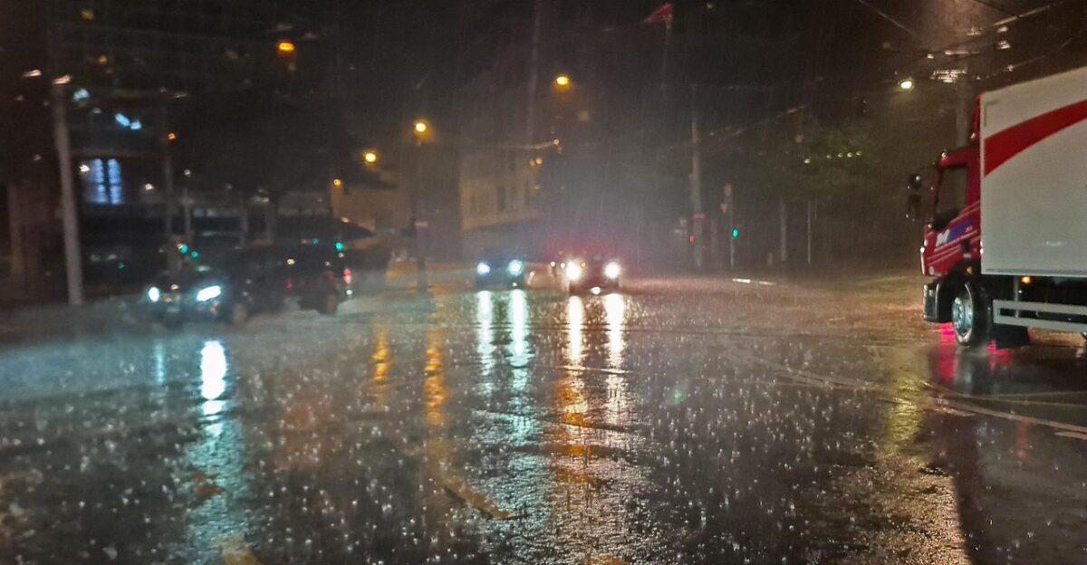
The Weather Prediction Center has issued a warning regarding potential rainfall rates of 1.5 to 2.5 inches per hour, with some localized areas expecting total accumulations between 3 and 5 inches.
Such significant precipitation can easily exceed the capacity of drainage systems, leading to road closures and necessitating emergency rescues. This alert affects a wide area and has the potential to impact millions of residents within a short period.
Understanding Atmospheric Rivers and Tropical Moisture Systems
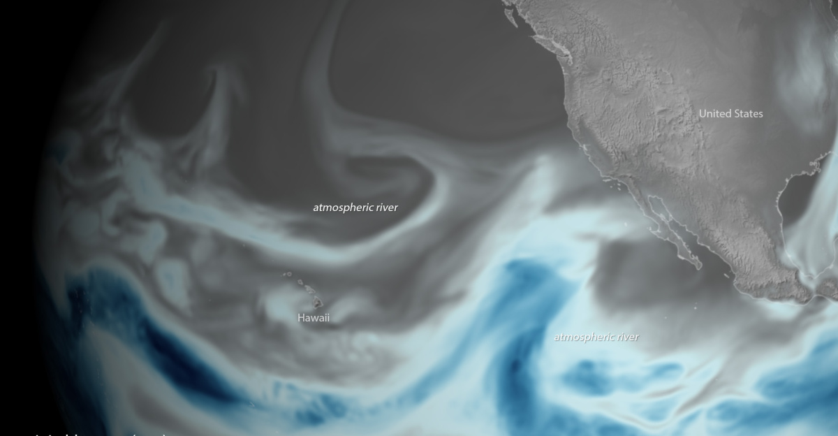
Atmospheric rivers, or “rivers in the sky,” are narrow bands of moisture that transport water vapor from tropical regions. They can cause significant flooding, especially along U.S. coasts and river valleys.
Climate change is increasing the frequency and intensity of these events due to warmer oceans and a more humid atmosphere.
Seven States Under Alert
On October 7, 2025, the National Weather Service issued a flash flood alert for Arkansas, Tennessee, Kentucky, Missouri, Illinois, Indiana, and Mississippi.
The Mid-South and Lower Ohio Valley face a “Slight Risk of Excessive Rainfall,” with forecasts predicting up to 5 inches of rain overnight due to a tropical moisture plume. Residents are advised to remain vigilant and prepared.
Areas of Greatest Concern
The National Weather Service has indicated that Arkansas and Tennessee are currently in an area with the highest potential for significant rainfall.
Additionally, Kentucky and Missouri are also at increased risk as a tropical moisture system progresses through the region. Local authorities in these states are actively monitoring the situation to assess and respond to any developing conditions.
Flash Flood Safety Guidelines
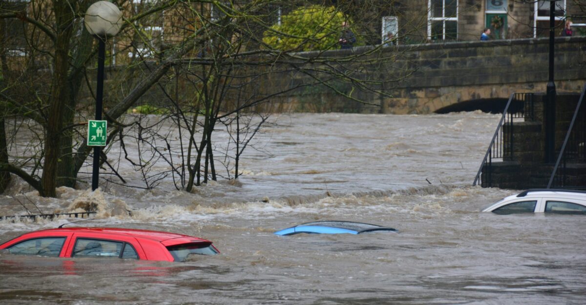
Flash floods can strike quickly, making safety awareness vital. The National Weather Service advises against driving on flooded roads; just six inches of water can knock someone down, and 12 inches can carry away a vehicle.
Most flood-related fatalities occur when people try to drive through floodwaters.
Infrastructure Vulnerability
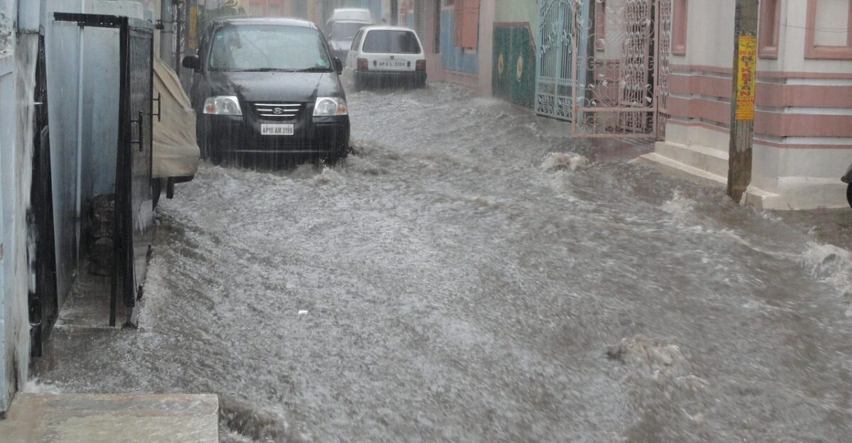
Heavy overnight rainfall is likely to strain local infrastructure, increasing the risk of urban flooding and property damage.
Many aging drainage systems were designed for lower levels of precipitation than those experienced in today’s extreme weather events.
Transportation Impact Assessment
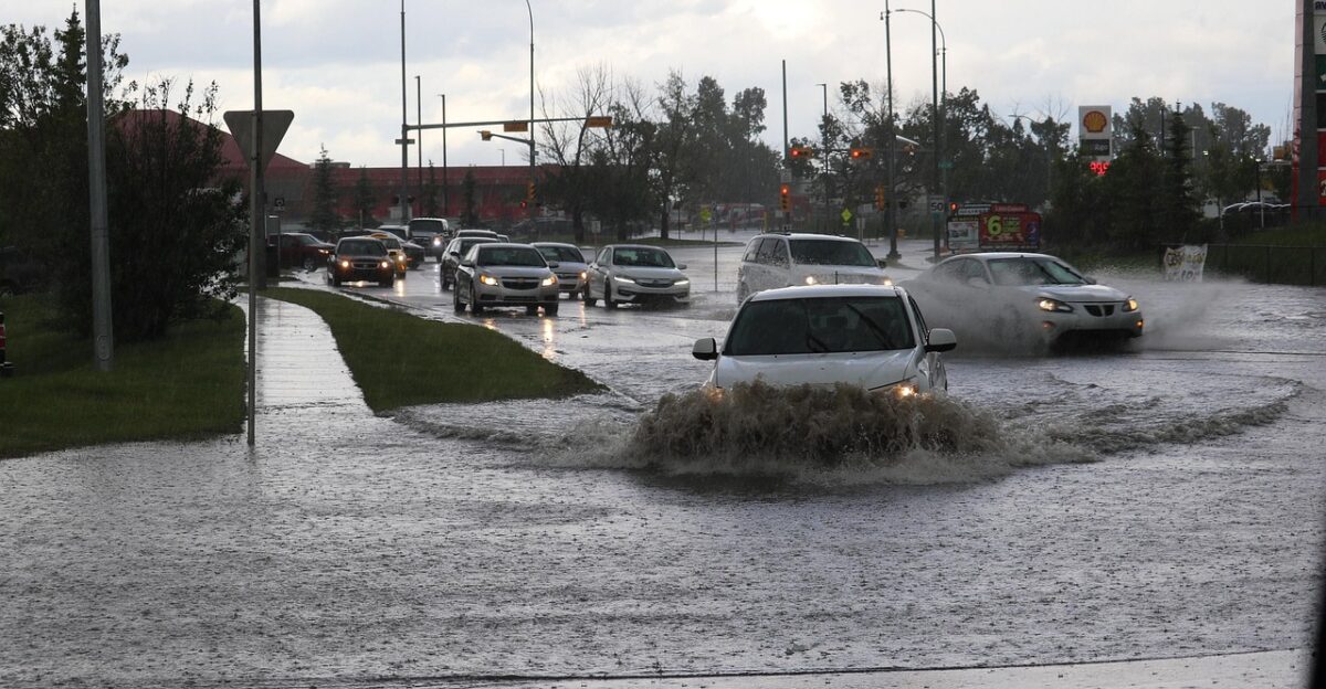
Heavy rainfall events can substantially impact transportation networks. When roads become flooded, they can become impassable, often leading transportation authorities to enforce emergency road closures to ensure public safety.
Areas with major highways and local roads that are prone to flooding are particularly susceptible to such disruptions.
Agricultural Considerations During Harvest Season

Flash flooding during the harvest season poses significant challenges for agricultural operations. Farmers may encounter issues such as damage to crops, the need to protect equipment, and difficulties accessing fields.
When soils become saturated due to excessive rainfall, it can lead to delays in harvesting activities and may also affect the quality of the crops.
Water Quality and Environmental Concerns

Heavy rainfall and flooding can degrade water quality by introducing contaminated runoff and overwhelming sewage systems, thereby compromising public health and safety.
During these events, effective environmental monitoring is crucial, as floodwaters often carry pollutants and debris that can harm local watersheds and drinking water sources.
Emergency Response Coordination
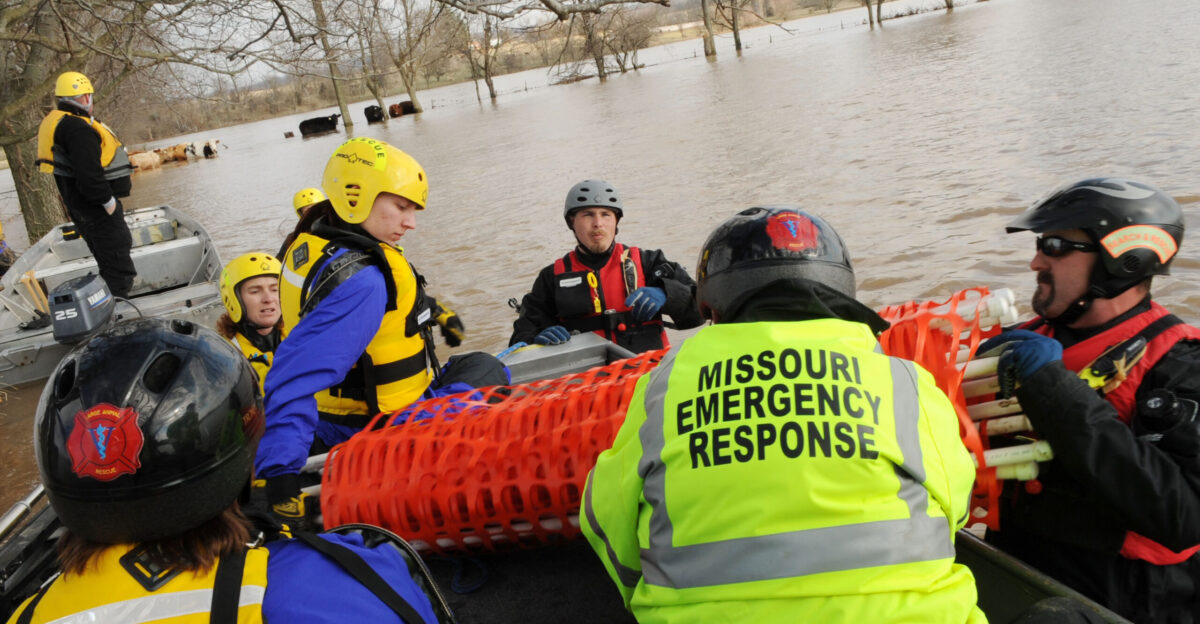
During significant flooding events, emergency management agencies coordinate response efforts across multiple jurisdictions.
This includes monitoring weather conditions, preparing emergency shelters, and positioning resources for potential rescue operations. Clear communication channels remain essential during flood emergencies.
Community Preparedness Measures
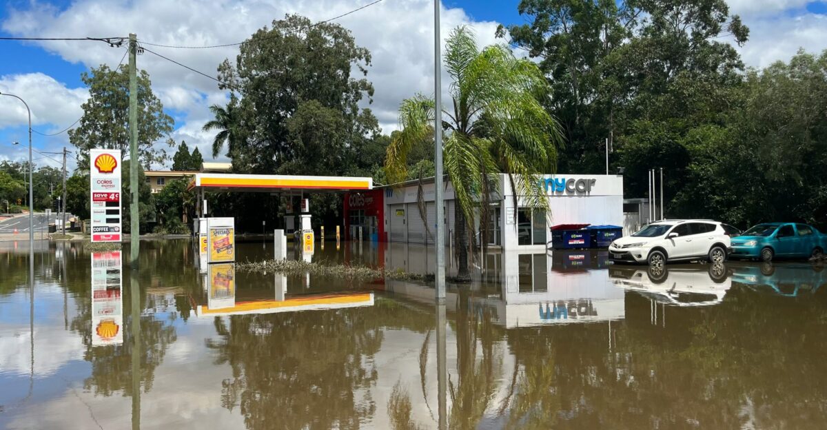
Communities can take several preparedness steps during flood watches and warnings.
These include monitoring weather updates, avoiding flood-prone areas, securing outdoor items that could become debris, and having emergency supplies ready. Residents should never attempt to walk or drive through moving water.
Urban Drainage System Challenges
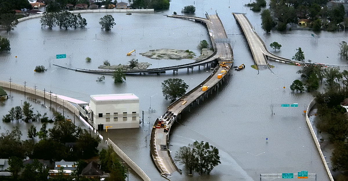
Urban areas are particularly vulnerable to flash flooding due to high concentrations of impervious surfaces, which increase runoff.
Storm drainage systems may not be able to handle current extreme precipitation patterns. Green infrastructure solutions are increasingly being implemented to help manage stormwater.
Recovery and Cleanup Considerations
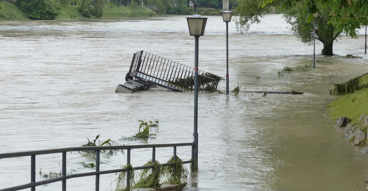
After flooding subsides, communities face recovery challenges, including assessing damage, removing debris, and repairing infrastructure. Water damage can lead to mold growth and structural issues, requiring professional remediation.
Insurance documentation and safety assessments become priorities in flood-affected areas.
Climate Preparedness for Future Events
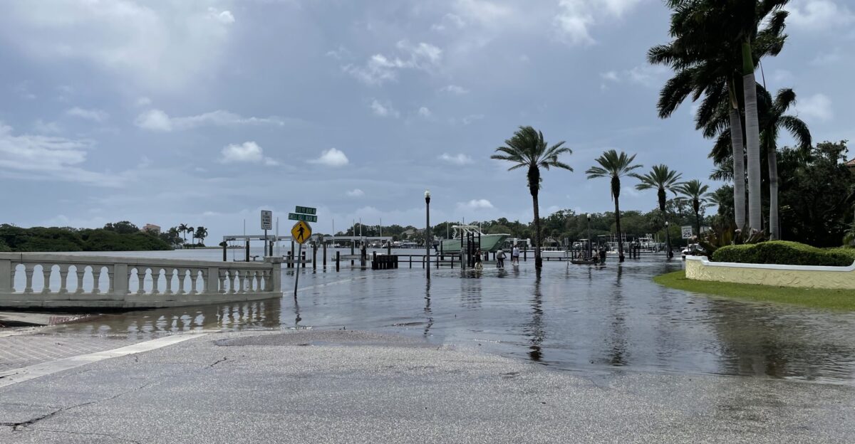
This atmospheric moisture event highlights how important it is for communities to have climate preparedness and resilient infrastructure.
Investment in improved forecasting, early warning systems, updated drainage infrastructure, and community education helps reduce vulnerability to extreme weather events that are becoming more frequent due to climate change.