A big winter storm hits the western U.S. during the busiest holiday travel time. Headlights cut through snow and dark as people rush on roads. The storm meets record traffic from a wet system moving in from the Pacific.
The American Automobile Association (AAA) predicts over 122 million people will travel at least 50 miles from December 20 to January 1. This is the highest number ever for the holidays. Most trips, about 109.5 million, or 89%, will happen by car. Gas prices average below three dollars per gallon for the first time in four years. This makes driving cheaper and more flexible for families.
But the storm makes things risky. It hits mountain roads and high passes right when travel peaks. Early storms already soaked the Pacific Northwest. Wet ground now faces more rain and snow. This raises chances of floods, mudslides, and power outages during long trips.
A Strengthening Atmospheric River
The storm’s power comes from an atmospheric river. This is a long, narrow stream of water vapor high in the sky. It carries huge amounts of moisture across the ocean like a conveyor belt. Scientists say strong ones hold as much water as many times the Mississippi River’s flow.
Warmer oceans and air let these systems carry more moisture. They now bring stronger, wetter storms more often. Satellites show this one stretches thousands of miles across the Pacific. It pulls from warm waters and hits the West Coast.
As moist air rises over mountains, it cools and drops heavy rain low down and intense snow up high. Snow levels start at 8,000 to 9,000 feet. By Christmas Day, they drop to near 6,000 feet. This brings dangers to more roads and towns.
Sierra Nevada and Beyond
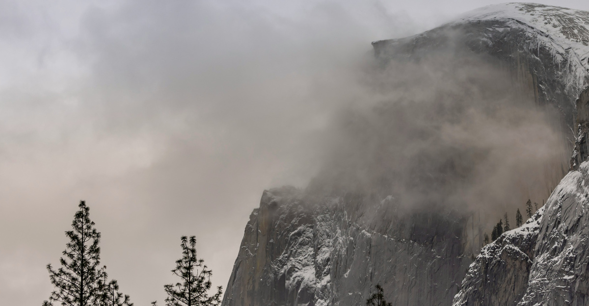
The Sierra Nevada mountains face the worst. The National Weather Service in Hanford warns of a winter storm in Yosemite National Park. Expect 6 to 8 feet of snow at high spots through December 27. Winds could gust to 50 miles per hour. Some ridges may see over 100 miles per hour. This causes whiteouts, blowing snow, and falling trees.
Southern Sierra areas could get 7 more feet of snow. In Mono County, travel turns impossible in heavy snow. Around Lake Tahoe, ski spots above 6,500 feet face 4 to 8 feet. This hits Interstate 80 hard, a major east-west route with heavy holiday traffic.
Warnings spread to California, Washington, Wyoming, Montana, and Idaho. Wyoming’s Teton and Wind River ranges may pile up several feet. Montana and Washington mountains deal with deep snow and avalanche risks.
Managing Risk on the Roads

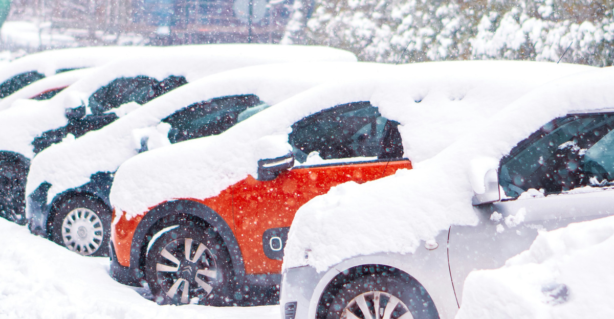
Road agencies gear up for tough conditions. In California, they use chain rules that get stricter as weather worsens. The toughest requires chains on all vehicles, a rare sign of big danger. Closures follow if plows and rescues can’t work safely.
Trucks get extra checks on routes like Interstate 80. Inspectors look for chains and gear. Unready trucks turn back. Data shows bad trucks often jackknife or stall, blocking roads for hours. These steps slow traffic but stop worse jams and ease rescue needs.
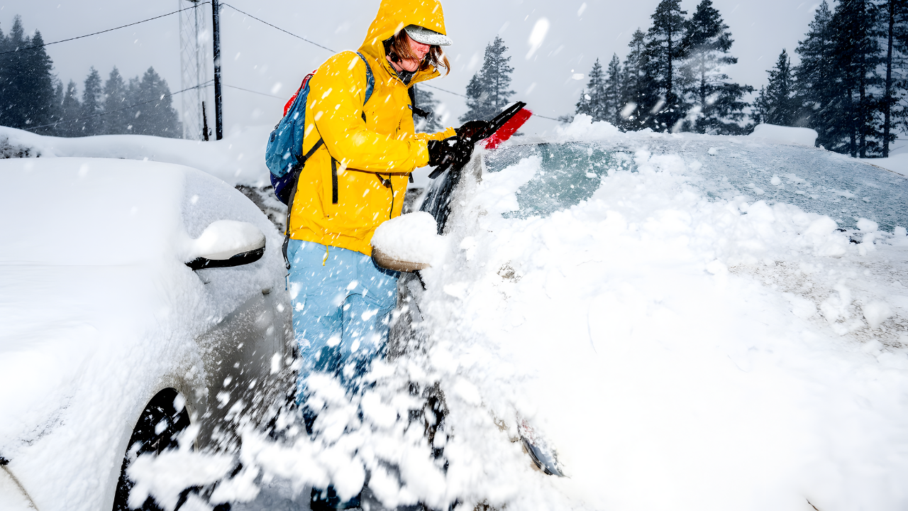
Even with plans, high winds, heavy snow, and steep hills can beat plowing teams. Wet snow may snap power lines and trees, causing blackouts when roads close. Drivers should pack food, water, warm clothes, and chains. Plan for hours stuck.
Weather, Travel, and a Warming Climate

This storm shows how climate change boosts atmospheric rivers. Studies find they grow bigger, wetter, and more common as oceans and air warm. This event’s size and moisture match that trend.
The system affects beyond the U.S. West. It shapes weather in western Canada and links to storms in Japan and New Zealand. U.S. roads now tie to big ocean-air patterns, not just local weather.
For America, this tests key systems like roads, power, water, and emergencies. Holiday travel hits records as storms turn wilder. Planners and drivers must mix travel, safety, and toughness. Choices now affect short-term safety and long-term plans for busy trips.
Sources:
AAA Year-End Holiday Travel Forecast, Published: December 10, 2025
National Weather Service Hanford – Yosemite Winter Storm Warning, Issued: December 21, 2025
NASA Global Precipitation Measurement (GPM) – Atmospheric Rivers Tracking, Published: December 17-22, 2025
Center for Western Weather and Water Extremes (CW3E) – AR Update December 22, 2025, Published: December 22, 2025
Newsweek – Winter Weather Warning (40 Inches Snow), Published: December 21, 2025