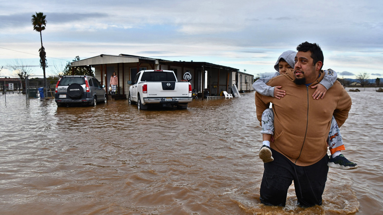
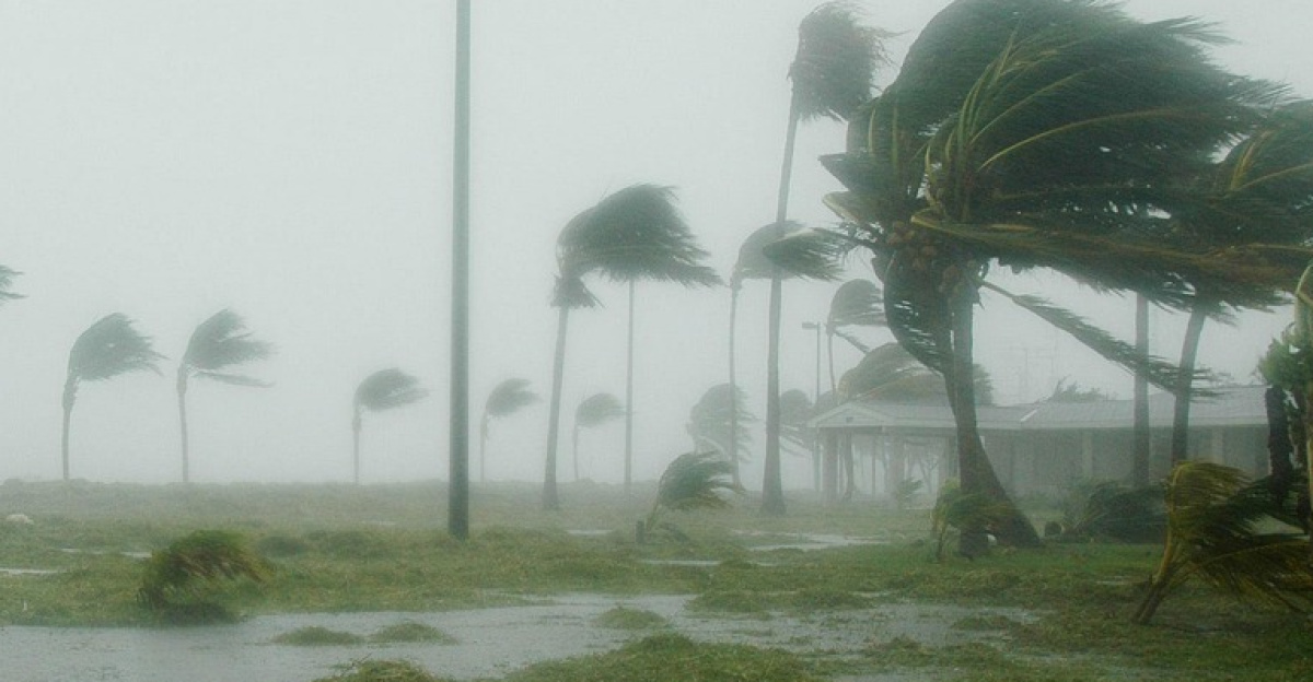
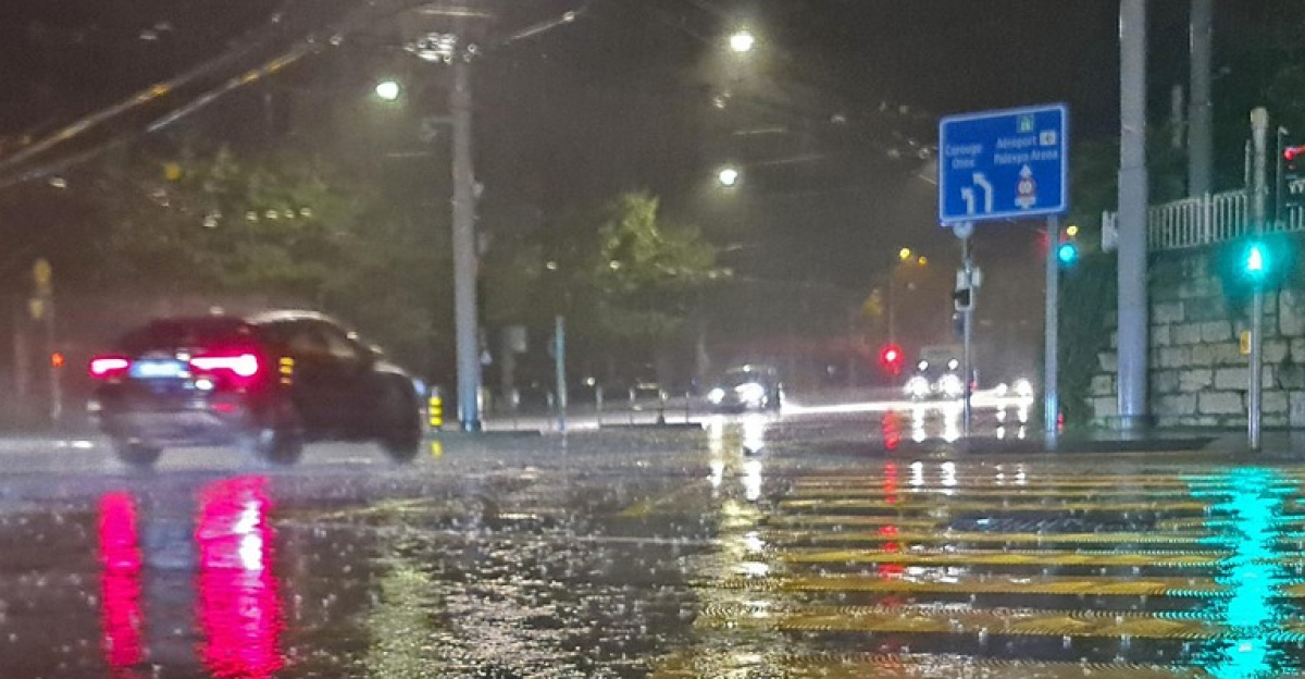
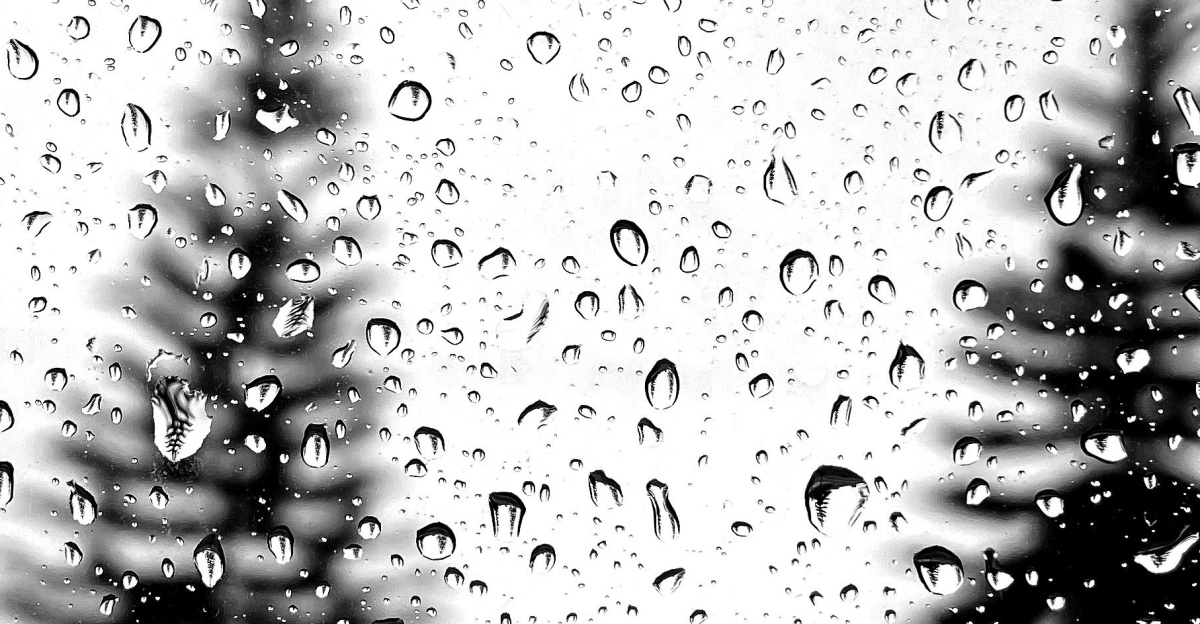
California endured one of its most devastating Christmas weather events as a powerful “Pineapple Express” atmospheric river system unleashed record-breaking rainfall across the state from December 24-26, 2025.
The storm claimed at least four lives, triggered destructive mudslides, and caused widespread flooding that disrupted holiday travel for millions. Downtown Los Angeles recorded its wettest Christmas in 54 years with 4.2 inches of rain.
Fatalities and Emergency Rescues

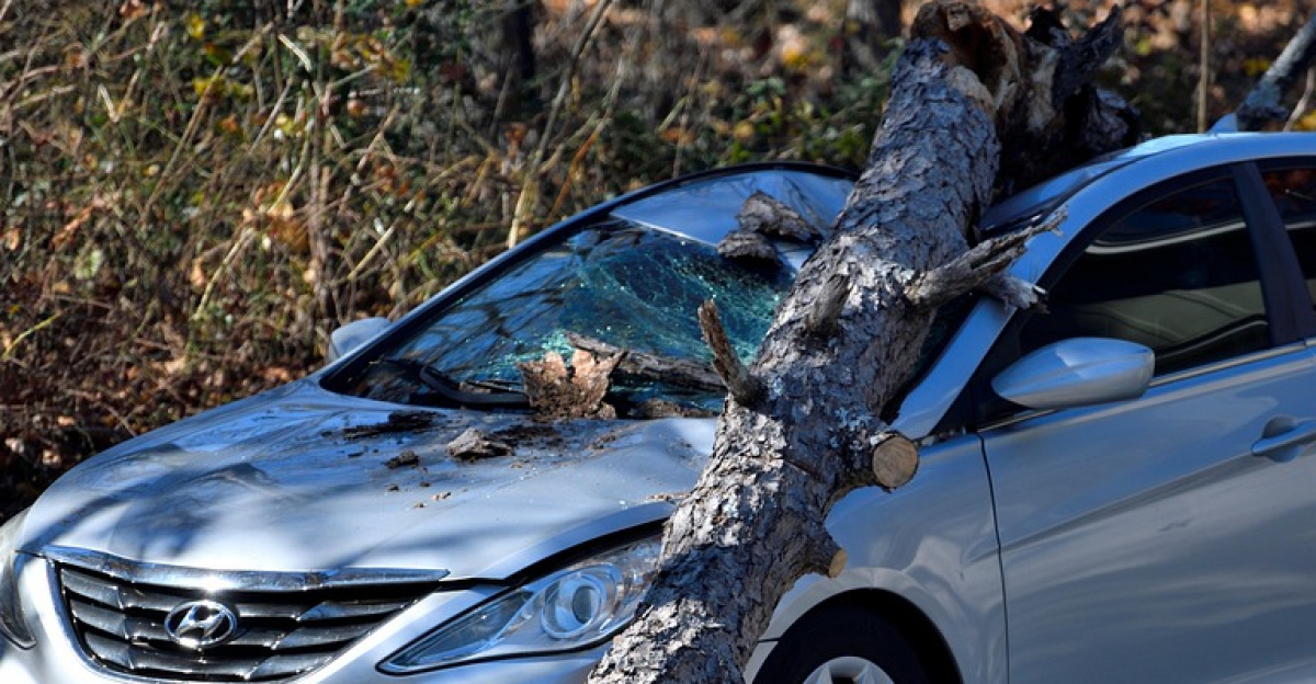
The storm’s human toll included a 74-year-old man swept away in Redding floodwaters, a woman in her 70s knocked into the ocean by waves at MacKerricher State Park, and Roberto Ruiz, 64, killed when a tree fell on him in San Diego. Sacramento County Sheriff’s Deputy James Caravallo died on Christmas Eve in a weather-related single-car accident.
Emergency crews performed dozens of rescues, including helicopter evacuations from rooftops in mountain communities.
Records Shattered Across Southern California
Santa Barbara Airport recorded an astonishing 5.91 inches during Christmas Eve and Christmas Day combined, obliterating the previous 1955 record of 3.22 inches.
The deluge forced the airport to close twice on Christmas Day despite preventative measures including inflatable Tiger Dams. Mountain regions bore the brunt, with San Gabriel Mountains receiving over 10 inches and some Ventura County areas accumulating close to 18 inches in 48 hours.
Wrightwood: Ground Zero for Destruction
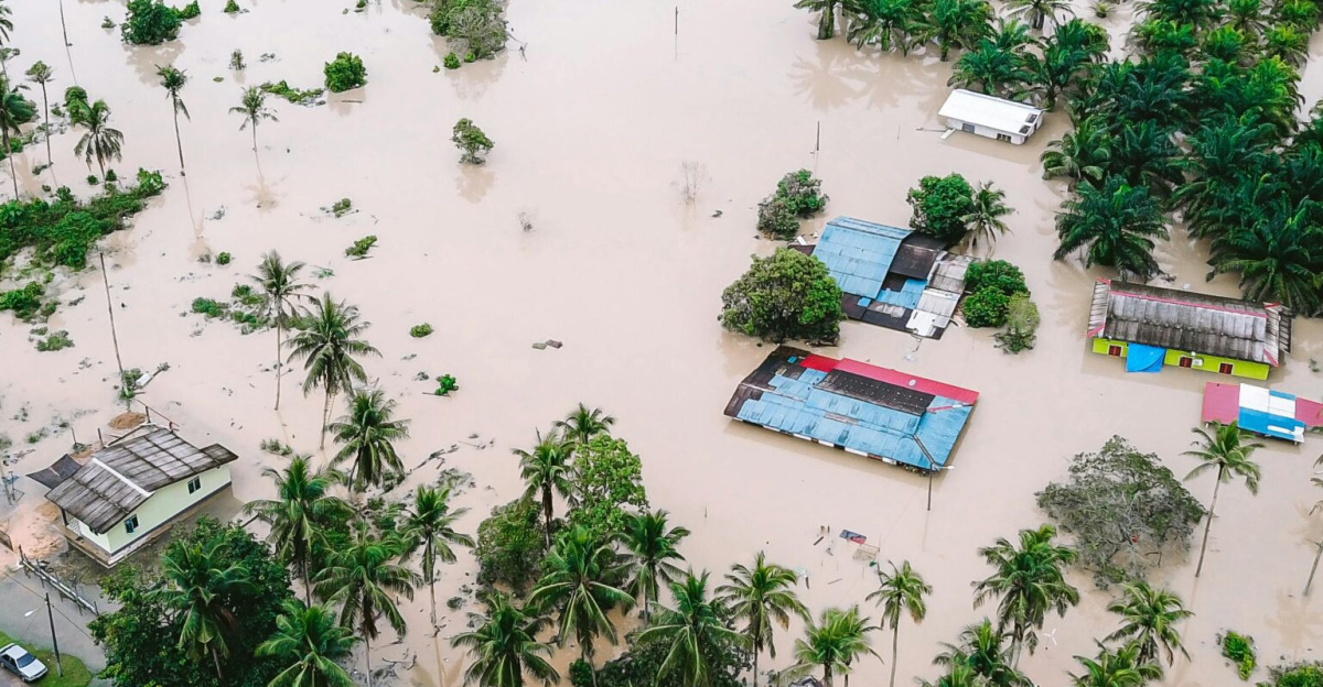
The mountain community of Wrightwood suffered catastrophic impacts when nearly a foot of rain triggered massive debris flows. Approximately 50 homes were buried under several feet of mud and rocks, with main access routes completely severed.
The devastation stemmed directly from the 56,030-acre Bridge Fire that stripped hillsides of protective vegetation just months earlier in September 2024, creating ideal conditions for mudslides.
Burn Scars Amplify Disaster
Wrightwood’s vulnerability exemplified how California’s wildfires create cascading hazards long after flames are extinguished. The Bridge Fire’s burn scar transformed heavy rainfall into catastrophic debris flows as compromised soil couldn’t absorb the intense precipitation.
More than 100 residents in the Happy Jack neighborhood were completely isolated after their only access road washed away. Video footage showed homes and vehicles buried under walls of mud on Oriole Road.
Statewide Infrastructure Failures
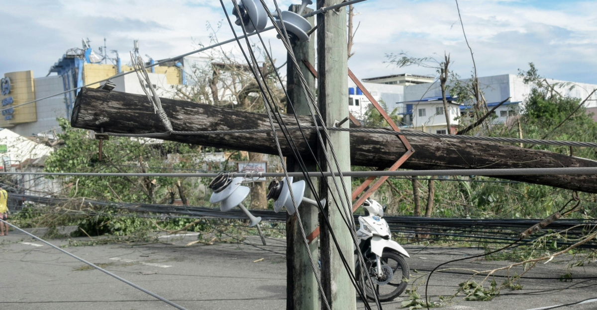
Over 163,000 California homes and businesses lost power on Christmas morning, with more than 70,000 still dark by Thursday afternoon. The Bay Area experienced particularly severe disruptions, with over 65,000 PG&E customers without electricity.
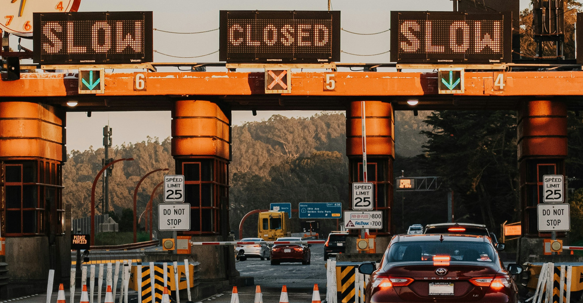
San Francisco faced its fourth major outage of December, prompting officials to call the situation “unacceptable.” Transportation networks collapsed as major highways closed and airports experienced thousands of flight delays and cancellations.
Governor Declares Emergency
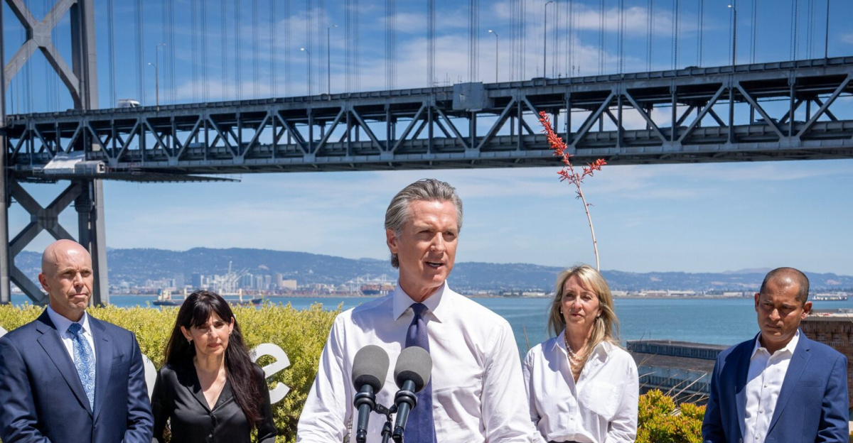
Governor Gavin Newsom declared a state of emergency on December 24 for six counties: Los Angeles, Orange, Riverside, San Bernardino, San Diego, and Shasta. The proclamation enabled rapid deployment of resources including 55 fire engines, 10 swiftwater rescue teams, five helicopters, and over 300 personnel strategically positioned across the state.
More than 41 million people across California, Nevada, and Arizona were under flood watches on Christmas Eve.
Understanding the Pineapple Express
The storm was driven by a “Pineapple Express”—an atmospheric river that transports massive moisture volumes from the tropical Pacific near Hawaii to the West Coast.
These systems are responsible for 30-50% of California’s annual rainfall and up to 65% of extreme precipitation events in the western United States. This particular system’s exceptional intensity delivered what forecasters described as “months’ worth of rain” in just days.
Climate Whiplash: From Drought to Deluge

The disaster must be understood within California’s intensifying “hydroclimate whiplash”—rapid oscillations between extreme wet and dry conditions driven by climate change. Just one year earlier, December 2024 brought record drought and extreme heat to Southern California.
This dramatic reversal exemplifies accelerating global patterns as the atmosphere’s capacity to hold and release water increases 7% for every degree Celsius of warming.
The Bloom-and-Burn Cycle
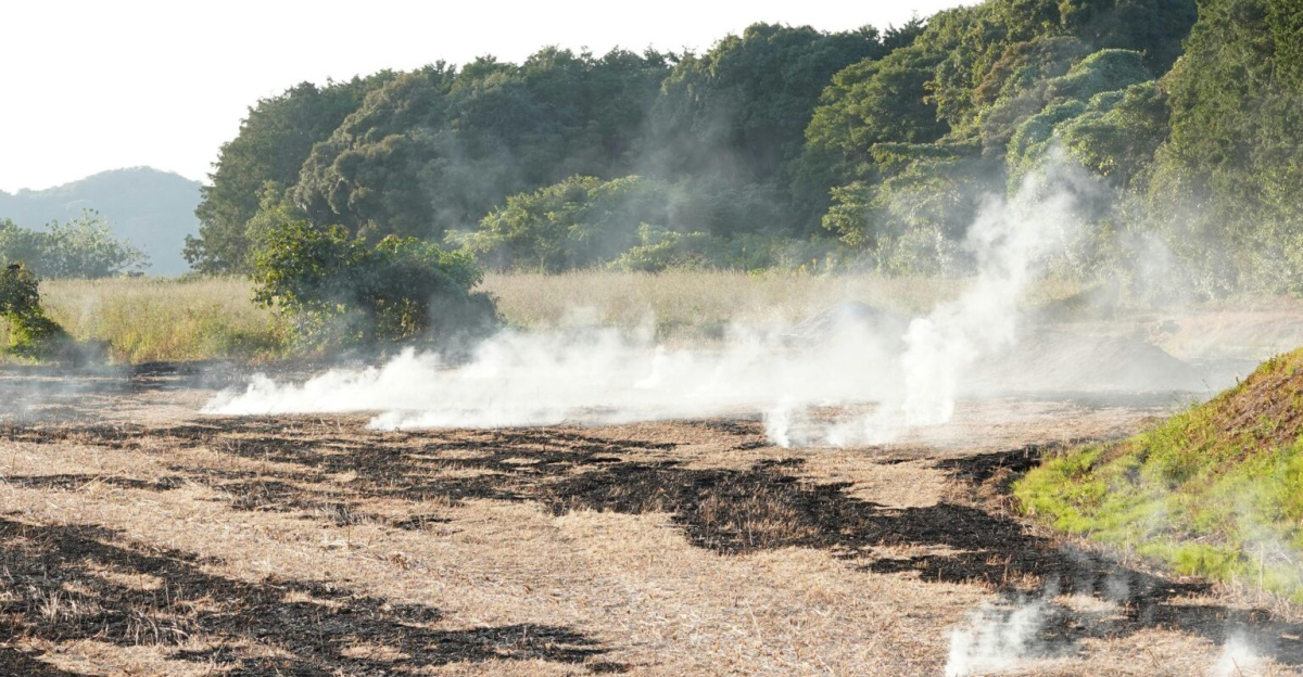
UCLA climate scientist Daniel Swain’s research documents how climate change creates a dangerous “bloom-and-burn” cycle in California. Wet periods stimulate explosive vegetation growth, which then dries to become wildfire fuel during subsequent droughts.
Burn scars from these fires create vulnerability to devastating mudslides when the next atmospheric river arrives—exactly the sequence that devastated Wrightwood. Scientists warn these swings will intensify without significant greenhouse gas reductions.
Los Angeles Sets Historic Benchmarks
Downtown Los Angeles recorded 4.2 inches over three days, making it the second-wettest December 24-26 period since records began in 1889. Individual daily records also fell: LAX received 1.88 inches on December 24, surpassing the previous 1971 record.
The current rain season now ranks as the wettest through December in 15 years, with downtown LA receiving 11.13 inches compared to a normal 3.28 inches by this point.
Coastal and Mountain Communities Battered
Hollywood/Burbank Airport recorded 3.42 inches on December 24, breaking its 1971 record, while Woodland Hills received 3.98 inches. Porter Ranch accumulated over 9 inches and La Cañada Flintridge received more than 7 inches.
The National Weather Service issued a rare “high risk for excessive rainfall” alert for Los Angeles and surrounding areas. Wind gusts exceeded 70 mph in the Bay Area, and waves reached 25 feet along the coast.
Ongoing Threats and Future Risks
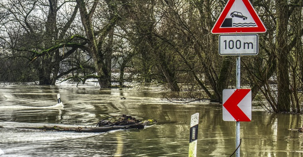
While the primary storm system weakened by December 26, flood watches remained in effect through Saturday due to saturated soils. Meteorologists warned of a possible moderate-to-strong Santa Ana wind event in early January, posing wildfire concerns.
Additional precipitation was forecast around New Year’s Eve through January 2, with 1.25 to 1.6 inches possible on coasts and 2-3 inches in mountain slopes.
Infrastructure Inadequacy Exposed
The widespread failures exposed how existing infrastructure was not designed for the intensity of extreme weather now occurring. Santa Barbara Airport’s repeated flooding, despite recent climate vulnerability assessments and preventative measures, exemplified this challenge.
Approximately 3,000 Southern California Edison customers in Wrightwood remained without power days after the storm, with some areas still inaccessible to repair crews. The storm contributed to over 6,000 flight delays across the United States.
Adapting to California’s New Normal
As California enters 2026, the Christmas storm serves as a sobering reminder that the state’s precipitation patterns are evolving into something more extreme and unpredictable. With scientists projecting a warming trajectory of 2-3 degrees Celsius this century, California faces the challenge of adapting to more frequent extremes and rapid transitions between them.
The state’s resilience will depend on infrastructure investments, improved land management, enhanced emergency preparedness, and ultimately, global climate action.
Sources:
“Weekly U.S. Influenza Surveillance Report (FluView).” Centers for Disease Control and Prevention, late Nov 2025.
“California hit by powerful storm on Christmas Day.” Deutsche Welle, December 25, 2025.
“4 dead in catastrophic Christmas flooding in California.” NBC News, December 26, 2025.
“Governor Newsom proclaims state of emergency to support response in multiple counties due to extreme weather.” California Governor’s Office, December 24, 2025.
“Santa Barbara Airport Closes After Heavy Rainfall Floods Airfields on Christmas Day.” Edhat Santa Barbara, December 25, 2025.
“Floods and droughts: Hydroclimate whiplash is accelerating.” UCLA Newsroom, May 28, 2025.