Floodwaters from the Skagit River roared through Washington state, shattering records and forcing approximately 100,000 residents under evacuation orders as highways vanished and homes filled with mud. What started as heavy rain from December 8 to 11, 2025, exploded into the state’s largest mass evacuation in decades, leaving communities cut off and infrastructure in ruins.
Atmospheric River’s Fury
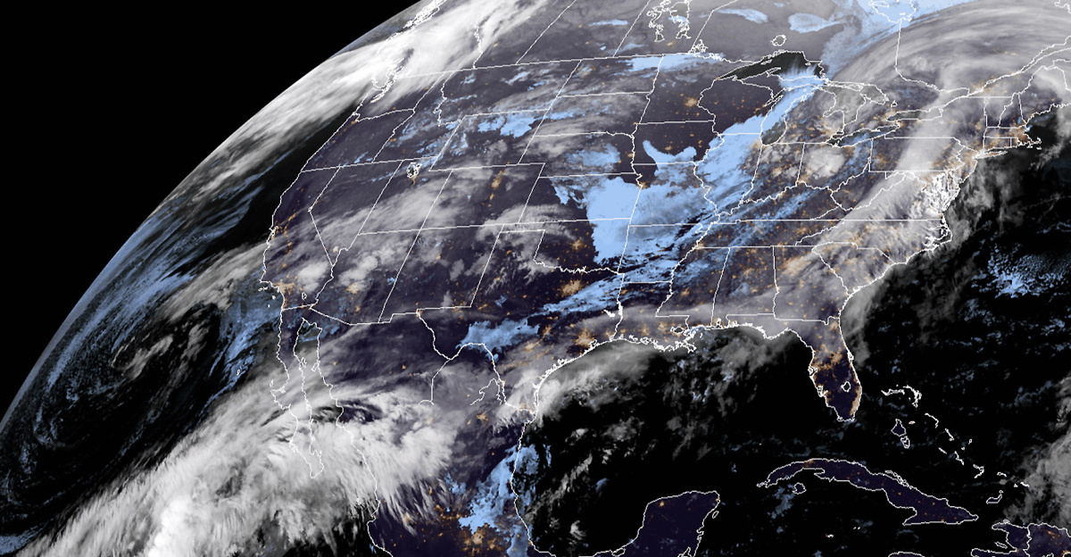
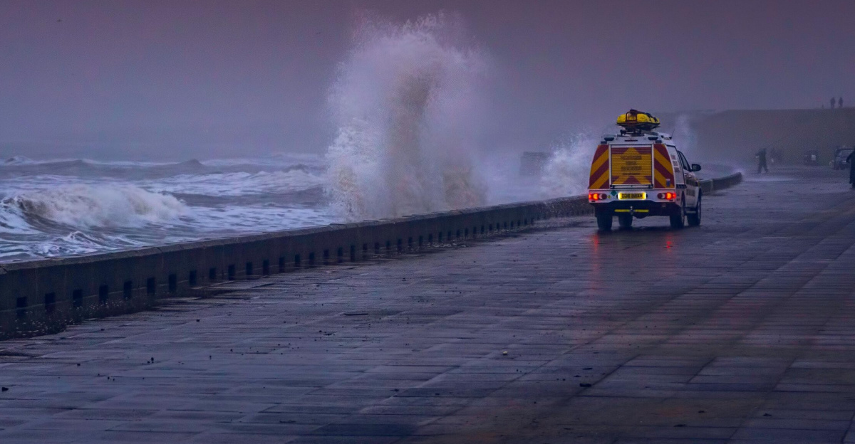
A powerful atmospheric river dumped relentless rain across western Washington, pushing the Skagit River and others to unprecedented heights. Multiple rivers, including the Snohomish, Cedar, Yakima at Easton, Grays near Rosburg, Skykomish, and Snoqualmie, shattered or neared all-time flood records by December 11. Experts attribute the storm’s extreme intensity to climate change, with warmer oceans and altered jet streams fueling longer, heavier downpours. The National Weather Service described it as a once-in-a-generation event, signaling a trend of worsening atmospheric rivers.
Mass Evacuations and Rescues
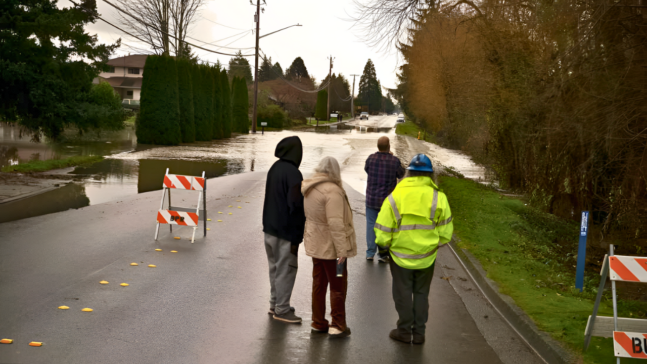
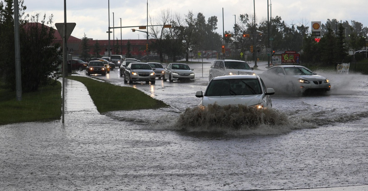
Towns in the Skagit Valley, such as Burlington and Mount Vernon, emptied as waters rose rapidly. Over 300 Washington National Guard members deployed for rescues, pulling families from flooded homes while shelters filled to capacity. The scale dwarfed recent evacuations, with roads turning into rivers and stranding thousands. On December 16, a White River levee breach prompted 2,100 residents in Pacific to flee, compounding the chaos.
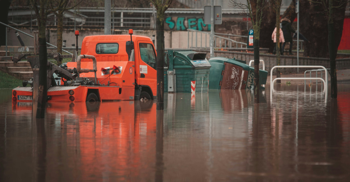
Infrastructure Under Siege
Major routes buckled: sections of Interstate 90 closed from mudslides, U.S. Route 2 over the Cascades shut down, and U.S. Route 12 impassable. The Sumas Border Crossing halted commercial traffic to prioritize local escapes, while Amtrak canceled all Seattle-to-Vancouver service. Power outages spread across counties like Chelan, where Leavenworth partially flooded and went dark. Water treatment plants, including Stehekin’s, suffered mudslide damage, and hospitals strained under the onslaught as winds toppled trees onto lines.
Levee Breaches and Dam Threats
Defensive barriers failed spectacularly. The Desimone Levee on the Green River broke on December 14, threatening over 46,000 in Kent, Auburn, and Tukwila despite frantic reinforcements. Dams on the Skagit, White, and Green rivers held under intense scrutiny, with engineers battling rising levels to avert overtopping that could doom downstream areas. These collapses exposed the limits of the region’s aging flood protections.
Widespread Economic Toll
Farms in the Skagit Valley, a key agricultural zone, drowned under inundation, halting operations and spoiling crops. Supply chains snapped with highway closures delaying groceries and medical goods. Tourism ground to a halt: Stevens Pass ski area isolated by U.S. Route 2 damage, facing months of repairs; mountain towns like Skykomish and Leavenworth lost winter revenue as roads stayed blocked. Small businesses, retailers, and farmers tallied heavy losses, demanding massive rebuilding funds.
Political Response and Second Storm
Governor Ferguson issued a statewide emergency declaration on December 10, unlocking federal aid and National Guard support. The crisis ignited debates on fortifying infrastructure against frequent floods. As teams shored up levees, a second atmospheric river—an AR-4 system—struck on December 14 evening, bringing more rain, snow, and winds. Forecasts warned of prolonged risks, with communities steeling for further inundation.
Washington’s 2025 floods reveal deepening cracks in flood defenses, farming viability, and supply networks amid climate-driven extremes. Leaders now grapple with choices: bolster vulnerable zones or shift populations to higher ground, as recurring atmospheric rivers demand urgent, large-scale adaptation to safeguard lives and livelihoods.
Sources:
“100,000 Ordered to Evacuate as Rivers Rise in Washington State.” The New York Times, 11 Dec 2025.
“Climate Change Primed Washington State for Historic Flooding.” Grist, 15 Dec 2025.
“Damage From Record Flooding in Washington State Is Profound, Governor Says.” Oregon Public Broadcasting, 17 Dec 2025.
“Back-to-Back Storms Push Washington Rivers Past Their Limits.” NPR, 13 Dec 2025.