Beneath Antarctica’s Thwaites Glacier, hundreds of undetected earthquakes have rumbled for over a decade, signaling the capsizing of massive icebergs and accelerating ice loss into the ocean. This revelation from Australian National University researchers underscores a mounting threat to global coastlines.
What Scientists Uncovered
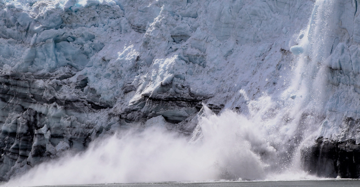
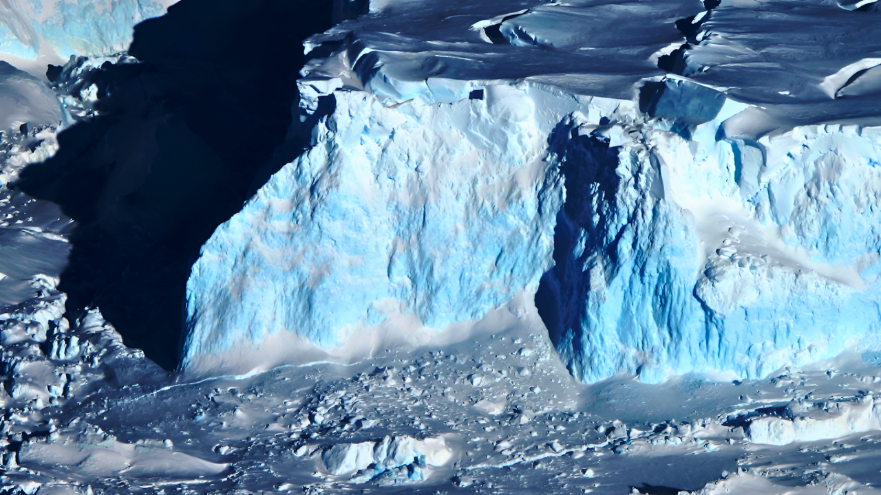
From 2010 to 2023, researchers identified 245 glacial earthquakes at the glacier’s disintegrating edge, events previously masked by ocean and ice noise. Advanced signal processing, including P-wave autocorrelation, pulled these low-magnitude signals from years of data, revealing iceberg calving on a scale larger than earlier estimates. The findings indicate substantial unmeasured ice discharge, with potential ripple effects across Antarctic ice dynamics.
Thwaites’ Pivotal Role
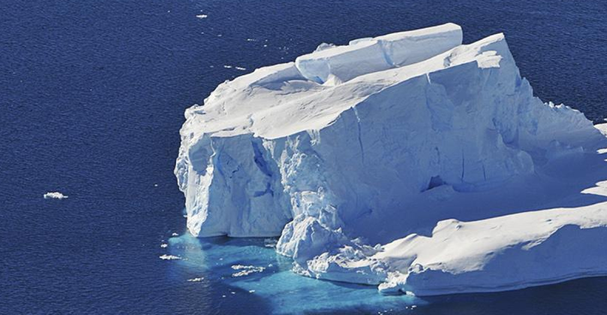
Known as the Doomsday Glacier, Thwaites covers an area roughly the size of Florida in West Antarctica’s Amundsen Sea. Though it holds less than 1% of the continent’s ice, it drives 4% of current global sea-level rise due to its bedrock sloping downward inland. Retreat of its grounding line into deeper water hastens instability, risking a broader collapse of the West Antarctic Ice Sheet.
Accelerating Melt and Losses
The glacier sheds 50 billion tons of ice each year. A full Thwaites meltdown over centuries could raise sea levels by 65 centimeters, while West Antarctic Ice Sheet failure might add 1.5 to 3 meters. Warm ocean water infiltrating sub-ice cavities fuels this, with no firm timeline for escalation but clear signs of speedup.
Surge in Seismic Activity
Earthquake frequency surged between 2018 and 2020, reaching 100 to 300 events annually, coinciding with faster glacier flow and grounding-line retreat. Ocean warming intensified during this period, eroding the ice shelf. These quakes do not trigger loss but record it—each capturing buoyant ice flipping into the sea. Dense seismometer arrays from the International Thwaites Glacier Collaboration confirmed the patterns.
Detection Breakthrough
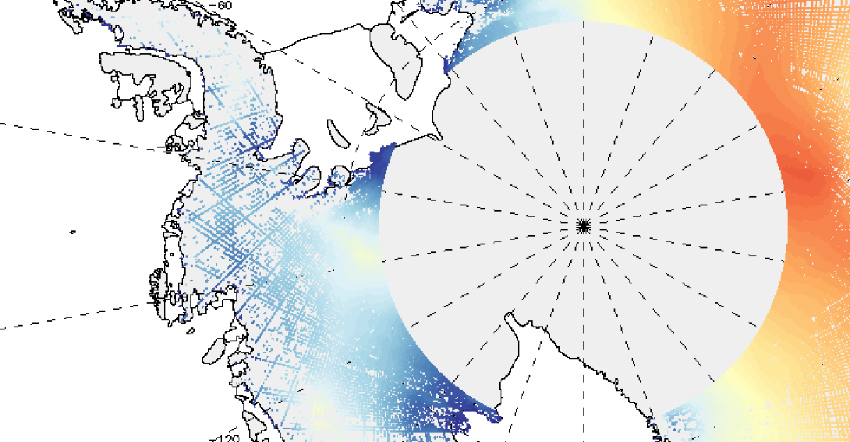
Traditional monitors overlooked these events due to sparse Antarctic coverage and signals drowned in noise. Seismologist Thanh-Son Phạm’s coda-correlation technique matched spectral signatures across stations, unmasking hidden activity. Thwaites has retreated for over 80 years, with satellite data showing the grounding line retreated by 14 kilometers from 1992 to 2011 along the fast-flowing main trunk, and sedimentary records indicating historical retreat rates up to 2.1 kilometers per year. Real-time seismic and acoustic tools now track progress through darkness and clouds.
Global Human and Economic Toll
Some 625 million to 1.2 billion people inhabit low-elevation coastal zones vulnerable to rises. By 2050, 300 million face acute risks, including 800 million in urban areas prone to half-meter surges. In the U.S., 386,000 homes risk mid-century flooding, potentially climbing to 2.5 million by 2100. Cities like Miami, with $15 to $23 billion in at-risk property by 2050, already battle routine inundation; Venice experiences increasing high-tide flooding and faces continued pressures; Shanghai and others grapple with subsidence too. Annual global flood costs could hit $14.2 trillion by 2100 under high emissions, while coastal adaptation efforts worldwide demand substantial investment. Ports from Rotterdam to Singapore face closures costing millions daily, while saltwater ruins farmland, as in Bangladesh’s affected coastal regions.
Narrow Window Ahead
Projections suggest Thwaites’ ice shelf may break up within the coming decade, unleashing accelerated ice discharge and committing centuries of melt. Sixty-five centimeters from Thwaites is already locked in, per modeling, with monitoring offering 1-to-5-year failure warnings. As seismic data exposes the glacier’s unrest, the drive to curb emissions and bolster defenses grows urgent to avert irreversible coastal upheaval.
Sources
“Hundreds of Iceberg Earthquakes Detected at the Crumbling End of Antarctica’s Doomsday Glacier,” Australian National University Reporter, December 11, 2025
“Systematic Detection of Glacial Earthquakes in Thwaites Glacier, West Antarctica,” ESS Open Archive/Geophysical Research Letters (in revision), December 2024
“Widespread Seawater Intrusions Beneath Grounded Ice of the Thwaites Glacier,” Proceedings of the National Academy of Sciences (PNAS), May 19, 2024
“Chapter 2: Priority I: Changing Antarctic Ice Sheets,” National Academies of Sciences Report on Antarctic Research, January 2, 2022